
PDF
FCRNR Wilderness Krassel R.D. Item Info
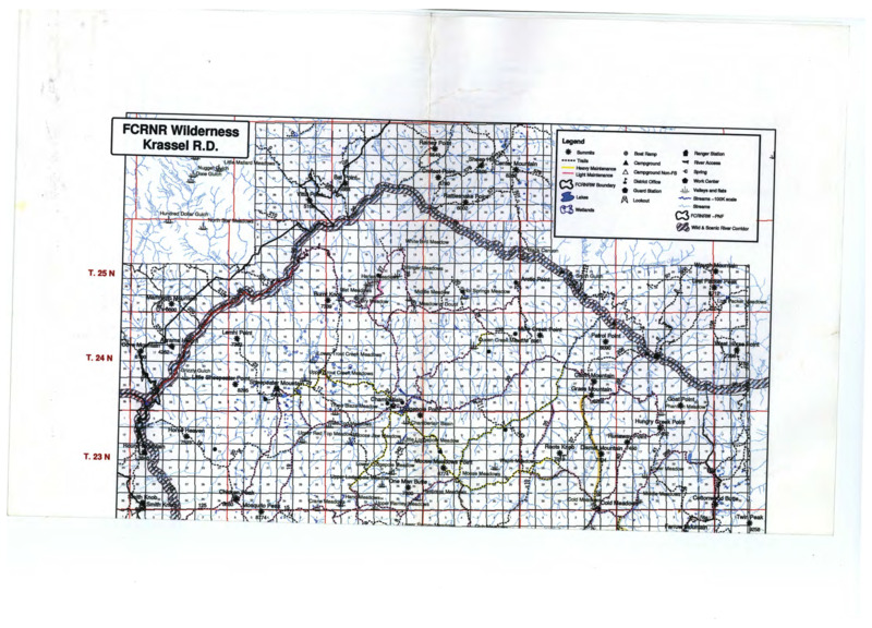
- Title:
- FCRNR Wilderness Krassel R.D.
- Creator:
- U.S. Department of Agriculture Forest Service
- Date Created:
- 5 May 2003
- Description:
- Topographical map of Frank Church River of No Return Wilderness Ranger District. Legend in top right corner of map.
- Subjects:
- topographic map rangers (forest)
- Latitude:
- 44.679544
- Longitude:
- -114.422112
- Source:
- USDA Forest Service
- Source Identifier:
- b06-Maps02
- Resource Type:
- map
- Type:
- Text
- Format:
- application/pdf
Source
- Preferred Citation:
- "FCRNR Wilderness Krassel R.D.", Taylor Wilderness Research Station Archive, University of Idaho Library Digital Initiatives
- Reference Link:
- https://www.lib.uidaho.edu/digital/taylor-archive/items/b06-maps02.html
Rights
- Rights:
- In Copyright, educational use permitted. Educational use includes non-commercial use of text and images in materials for teaching and research purposes. The University of Idaho Library is not liable for any violations of the law by users.