
PDF
Colored map of Chamberlain Basin Item Info
- Title:
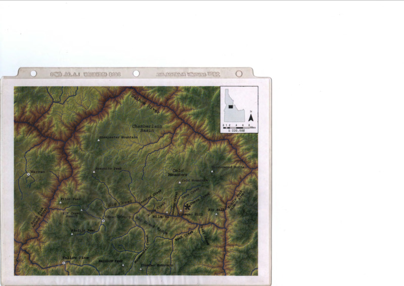
- Colored map of Chamberlain Basin
- Description:
- Physical map of Chamberlain Basin in central Idaho
- Subjects:
- forestry maps basins (landforms)
- Latitude:
- 44.029014
- Longitude:
- -114.600214
- Source Identifier:
- b06-Maps03
- Resource Type:
- map
- Type:
- Text
- Format:
- application/pdf
Source
- Preferred Citation:
- "Colored map of Chamberlain Basin", Taylor Wilderness Research Station Archive, University of Idaho Library Digital Initiatives
- Reference Link:
- https://www.lib.uidaho.edu/digital/taylor-archive/items/b06-maps03.html
Rights
- Rights:
- In Copyright, educational use permitted. Educational use includes non-commercial use of text and images in materials for teaching and research purposes. The University of Idaho Library is not liable for any violations of the law by users.