
PDF
Colored aerial map photograph Item Info
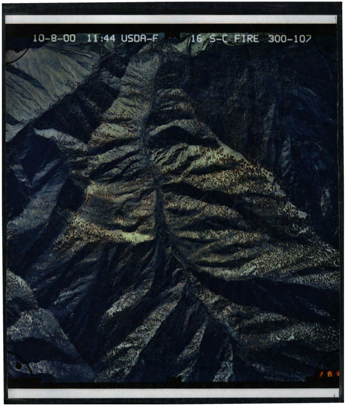
- Title:
- Colored aerial map photograph
- Date Created:
- 8 October 2000
- Description:
- Aerial photograph presumably of FCRNR Wilderness. Top right of photograph reads '16 S-C FIRE 300-107'
- Subjects:
- aerial photography forest reserves
- Source Identifier:
- b06-Maps01
- Resource Type:
- map
- Type:
- Text
- Format:
- application/pdf
Source
- Preferred Citation:
- "Colored aerial map photograph", Taylor Wilderness Research Station Archive, University of Idaho Library Digital Initiatives
- Reference Link:
- https://www.lib.uidaho.edu/digital/taylor-archive/items/b06-maps01.html
Rights
- Rights:
- In Copyright, educational use permitted. Educational use includes non-commercial use of text and images in materials for teaching and research purposes. The University of Idaho Library is not liable for any violations of the law by users.