Latah County Historic Places
Historic Sites Map by the Latah Preservation Commission
Contents: About the Project | A Brief History of Latah County | A Land of Contrasts | Tech
About the Project
This exhibit was a collaboration between the Latah Preservation Commission (LPC) and the University of Idaho Library. Each site was selected and described by commission volunteers, originally for the print Latah County Historic Sites Touring Map. The map was developed in 2004 and updated in 2013 and 2018. In 2023, the commission once again revised site descriptions to reflect changes in building use or ownership.
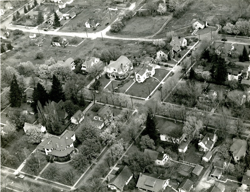
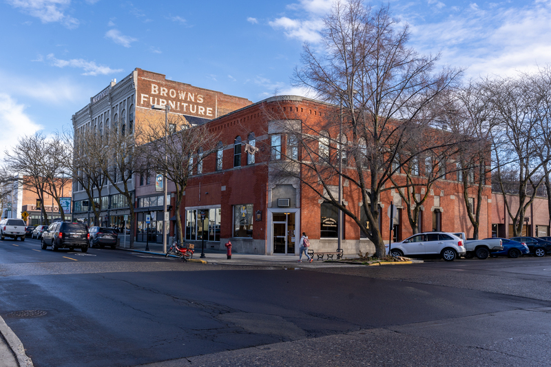
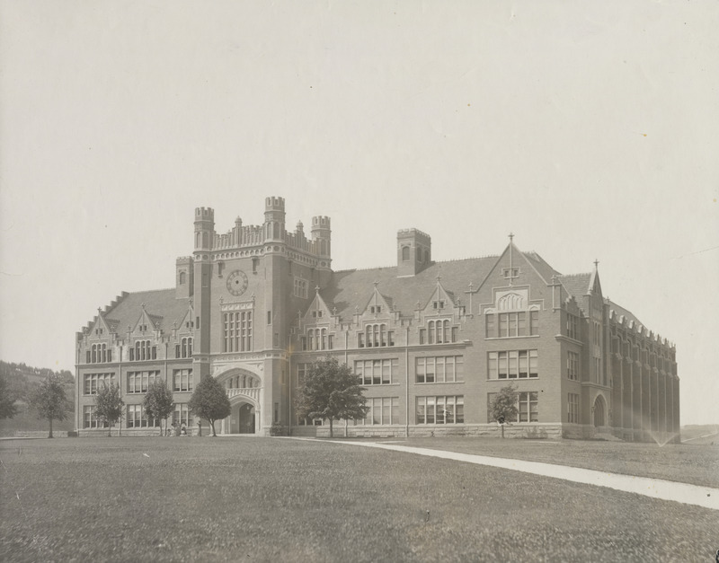
The printed map was not able to include photographs of the sites, and it was difficult to widely distribute copies of the publication to county residents and visitors. This digital version of the touring map includes contemporary photos of each location as well as historic images to illustrate the ongoing significance of the highlighted structures and landmarks.
A majority of the contemporary photos were taken by Cameron Nielsen, while completing a fellowship with the Library’s Special Collections and Archives department. Donors to the Library Dean’s Excellence Fund made the project possible. Significant volunteer assistance was also provided by members of the Latah Preservation Commission. The LPC works to preserve, promote, and educate the public about the historic physical fabric of Latah County, Idaho.
The LPC commission pursues its mission by submitting nominations to the National Register of Historic Places, installing smart signage at historic sites, conducting walking tours, writing brochures, printing flyers, designating historic sites/districts, and supporting Idaho’s heritage organizations.
The commission is a Certified Local Government that receives funding from Latah County and the National Park Service.
A Brief History of Latah County
From the Latah County Historic Sites Touring Map, 2018
Before the coming of the Euro-Americans, Native Americans lived in north Idaho that included the Coeur d’ Alene, the Spokane, the Kalispel, the Nez Perce, and the Palus. The Nez Perce and Palus lived along the Clearwater and Snake Rivers during the winter months. When spring came, they moved up into Latah County to dig camas, fish, hunt, and pick huckleberries. The Greater Nez Perce Trail traverses Latah County, extending north to Spokane Falls. Other native trails that crisscrossed the area are still visible in places.
The first Euro-Americans were trappers of the North West Company that had a trading post on the Spokane River beginning in 1810. These trappers picked up the term that the Native Americans used for this region, the Palouse. The name likely originates with the Palus Tribe native to this grassy-rolling-hills region of north Idaho and southeastern Washington. Palouse is also a Native American Sahaptin word for something sticking down in the water. This referred to a large rock that the Palus believed to be the solidified heart of Beaver, who played an important part in their religious beliefs.
Fur trappers laid the bare framework upon which early pioneers built towns and cities. Christian missionaries also made their mark on the land including the Reverend Henry Spalding who established a school and Presbyterian mission at Lapwai south of Latah County.
Isaac I. Stevens, the territorial governor of Washington, wrote the first description of the county in 1855. He and members of his surveying party camped overnight at a spring south of Moscow and Paradise Ridge. The Walla Walla Council of 1855 ran by Governor Stevens and Oregon Superintendent of Indian Affairs, Joel Palmer began the removal of Native Americans from the Palouse. Treaties made at this council set aside reservations for the Yakama, Palus, Nez Perce, Cayuse, Umatilla, and Walla Walla Tribes.
Following the Treaties of 1855, the Puget Sound War broke out between Euro-American settlers and Native Americans starting in Puget Sound. It eventually engulfed most of eastern Washington Territory and was known as the Palouse or Coeur d’Alene War.
The conflict in eastern Washington also called the Yakama War concluded with the United States Army in control of the Palouse by 1858 and resulted in the displacement of Native Americans from the area. These military actions had significance for what later became Latah County, Idaho.
In the 1860s, gold was discovered near Orofino, Idaho, and then on Crumarine Creek on Moscow Mountain. In 1870, pioneers attracted by deposits of gold began moving to the area. Other strikes followed in the Hoodoo Mountains northeast of Potlatch.
Early settlers established stage stops like Woodfell and gardening communities like Viola to provide transportation, supplies, and fresh produce for the miners. This influx of Euro-American settlers led to new land use conflicts with Native Americans.
When the prospecting boom disappeared, many prospectors turned to ranching and farming. The available land was the driving force for many of the first settlers as the United States government platted the land for settlement. The first permanent settlers arrived in Viola, Genesee, and the top of Lewiston Hill in the late 1860s; settlement of Moscow began in the early 1870s.
Though no open hostilities between Native Americans and Euro-Americans occurred in Latah County, the settlers erected crude stockades and forts when a general fear swept the countryside during the Nez Perce War of 1877. A plaque commemorates the site of the Fort Russell stockade in Moscow’s Fort Russell Historic District.
The local communities of the Palouse formed a militia and sent militia companies to buttress the United States Army during both the conflict of 1877 and the following year in 1878 during the Bannock War.
Numerous sawmills and new rail lines created towns and prompted the rapid growth of small settlements like Vollmer, later renamed Troy. Sawmills and the first mail route was established between Moscow and Lewiston in 1872. The first railroad, the Oregon Railroad and Navigation Company, reached Moscow in 1885.
The founding of the city of Moscow began a long struggle for the establishment of a county separate from Nez Perce County to the south. The city of Lewiston, the Nez Perce County seat, quashed three attempts by Latah County to secede from Nez Perce County. Nez Perce County endeavored to retain her territory, while the city of Moscow insisted upon the creation of a new county.
Latah County has the distinction of being the only county in the United States created by an Act of Congress. In 1887, Idaho’s delegate in Congress introduced a bill for the creation of Latah County, designating the boundaries and county seat as they are today. The city of Moscow, now the county seat, was important because it was the only post office and stage station within the large surrounding area. The bill creating Latah County passed Congress and President Grover Cleveland approved it in 1888.
A local committee, including Moscow merchant and Idaho’s future senator and governor, William J. McConnell, selected the name “Latah” for the county. Latah is a combination of two Nez Perce words. The first being the first syllable of La-Kah, meaning pine trees and the second part being the first syllable of Tah-ol, derived from a stone pestle used to grind camas roots. Thus, Latah means the pine and pestle place. Nez Perce and Palus dug camas roots every summer that grew in large numbers on the grassy meadows of the Palouse and formed an important part of their diet.
The period of homesteading extended for thirty years, from 1868 to 1898. Overall, the settlement on the Palouse occurred decades later than that of Puget Sound, Washington, or Willamette Valley, Oregon. The Palouse remained largely unsettled until the early 1870s, a kind of backwater that Euro-American settlers had bypassed on their way to the Pacific Ocean.
By 1900, Latah and Nez Perce were the two most populous counties in Idaho. When the Idaho legislature created the University of Idaho at Moscow in 1889, the new county seat experienced a period of rapid growth, and soon became the largest town in the county. The other incorporated cities in Latah County include Bovill, Deary, Genesee, Juliaetta, Kendrick, Onaway, Potlatch, and Troy. There are also several small-unincorporated communities: Princeton, Harvard, Viola, Joel, Avon, Cornwall, and Helmer. All of these have a rich history.
A Land of Contrasts
From the Latah County Historic Sites Touring Map, 2018
Latah County contains many different regions. Mining, logging, recreation, and timber homesteads shaped the economic growth of the north and northeastern parts. Although many homesteaders, primarily Scandinavian immigrants, took up farming, most holdings were small and did not prosper. Logging had a great effect on this part of the county that contained the largest stand of white pine in the United States. Many filed homestead claims in the timbered areas hoping to win the title to their land and then sell to a lumber company for a handsome profit. With the newly created Forest Service and a national interest in creating forest reserves, the government denied these timber homestead claims.
In the early 1900s, the Potlatch Lumber Company began buying up huge tracts of white pine. In 1905, the company built a mill and town that it named Potlatch after the Chinook word for a large feast. At one time, the mill was the largest steam-powered sawmill in the world. The company sold the townsite in 1952.
Then, faced with an outmoded mill and high expenses, it closed the plant in 1981, and in 1983 had it dismantled and sold for scrap. The town of Potlatch is one of the few, true examples of a company town in the West. The company’s influence in this area is also reflected in the towns of Deary, Harvard, and other railroad stations that once stood along the route of the Washington, Idaho, and Montana Railway (W. I. & M.)
The W. I. & M. built the railroad to move logs from as far away as Elk River in Clearwater County to its main mill at Potlatch. But the harsh weather helped convince the company to abandon its plans to expand further east into Montana. Among the north county’s many scenic areas is Skyline Drive in Mary Minerva McCroskey State Park. The drive begins in north Latah County and continues through Benewah County. Virgil McCroskey, who donated the land to the State of Idaho, was an early conservationist. He is also responsible for Steptoe Butte State Park across the state line in Washington. The White Pine Drive in the north and the Potlatch Canyon in the south provide two very different views of the county.
The south and southwestern parts of Latah County, which are part of the Palouse geological region, contain large farms, some of which have been in the same family for generations. The rich soil of the Palouse prairie is legendary. In the early days, farmsteads had orchards and large gardens, and crops included fodder for cattle and draft animals. Now the land is planted mainly in wheat, dry peas, and lentils. With its fertile soil and dependable climate, the Palouse is one of the primary wheat-producing regions in the United States. It also claims to be the dry pea and lentil capital of the nation. Genesee and Moscow are two centers of these rich farmlands.
Kendrick and Juliaetta, located along the Potlatch River Canyon, were important trade centers for the mines in the north. At one time, they were famous for their production of fruits and vegetables. That industry has largely disappeared, but the mild climate along canyon has induced some to grow grapes and produce wine.
Technical Credits - CollectionBuilder
This digital collection is built with CollectionBuilder, an open source framework for creating digital collection and exhibit websites that is developed by faculty librarians at the University of Idaho Library following the Lib-Static methodology.
Using the CollectionBuilder-CSV template and the static website generator Jekyll, this project creates an engaging interface to explore driven by metadata.

![click to see item Scenic 6 Park [03]](https://objects.lib.uidaho.edu/latahsites/small/90-05-027_sm.jpg)
![click to see item White Pine Scenic Byway and Giant White Pine Campground, Nez Perce-Clearwater NF [01]](https://objects.lib.uidaho.edu/latahsites/small/giant-white-pine-14_sm.jpg)