PDF
Predicting Tree-Level Forest Structure From LiDAR Data Item Info
- Title:
- Predicting Tree-Level Forest Structure From LiDAR Data
- Creator:
- Falkowski, Michael J.; Gessler, Paul E.; Hudak, Andrew T.; Crookston, Nicholas L.
- Date Created:
- 2007
- Description:
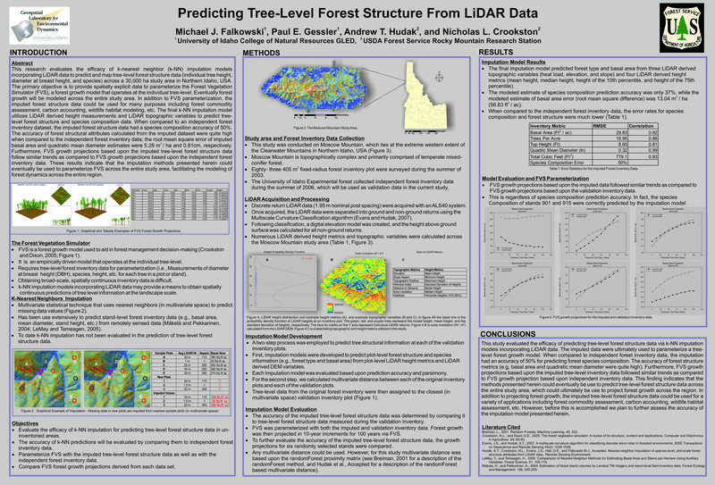
- This research evaluates the efficacy of k-nearest neighbor (k-NN) imputation models incorporating LiDAR data to predict and map tree-level forest structure data (individual tree height, diameter at breast height, and species) across a 30,000 ha study area in Northern Idaho, USA. The primary objective is to provide spatially explicit data to parameterize the Forest Vegetation Simulator (FVS), a forest growth model that operates at the individual tree-level. Eventually forest growth will be modeled across the entire study area. In addition to FVS parameterization, the imputed forest structure data could be used for many purposes including forest commodity assessment, carbon accounting, wildlife habitat modeling, etc. The final k-NN imputation model utilizes LiDAR derived height measurements and LiDAR topographic variables to predict treelevel forest structure and species composition data. When compared to an independent forest inventory dataset, the imputed forest structure data had a species composition accuracy of 50%. The accuracy of forest structural attributes calculated from the imputed dataset were quite high when compared to the independent forest inventory data; the root mean square error of imputed 2 basal area and quadratic mean diameter estimates were 5.28 m / ha and 0.81cm, respectively. Furthermore, FVS growth projections based upon the imputed tree-level forest structure data follow similar trends as compared to FVS growth projections based upon the independent forest inventory data. These results indicate that the imputation methods presented herein could eventually be used to parameterize FVS across the entire study area, facilitating the modeling of forest dynamics across the entire region.
- Document Type:
- Research Poster
- Subjects:
- K nearest neighbor imputation models LiDAR tree-level forest structure data individual tree height diameter at breast height forest growth forest dynamics modeling forest vegetation simulator
- Location:
- Moscow Mountain; western Clearwater Mountains; Northern Idaho
- Latitude:
- 46.869607
- Longitude:
- -116.733856
- Publisher:
- Falkowski, Michael & Gessler, Paul & Hudak, AT & Crookston, N.. (2007). Predicting tree-level forest structure from LiDAR data. AGU Fall Meeting Abstracts.
- Department:
- University of Idaho College of Natural Resources GLED; USDA Forest Service Rocky Mountain Research Station
- Type:
- Text
- Format:
- application/pdf
Source
- Preferred Citation:
- "Predicting Tree-Level Forest Structure From LiDAR Data", UIEF Research Exchange, University of Idaho Library Digital Collections, https://www.lib.uidaho.edu/digital/uief/items/uief_0330.html
Rights
- Rights:
- In copyright, educational use permitted.
- Standardized Rights:
- http://rightsstatements.org/vocab/InC-EDU/1.0/

