Description
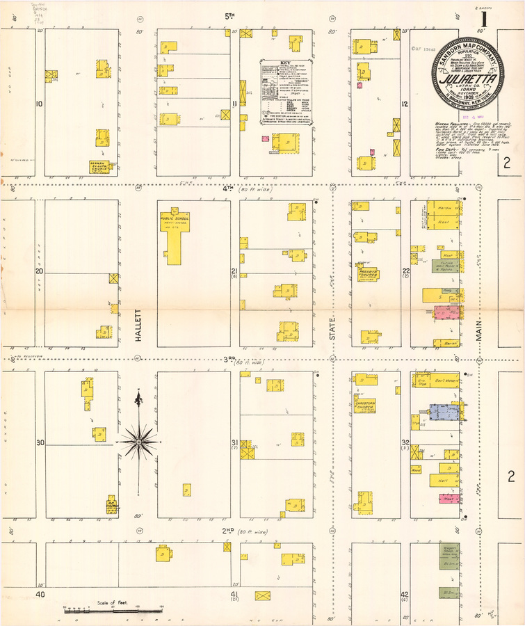
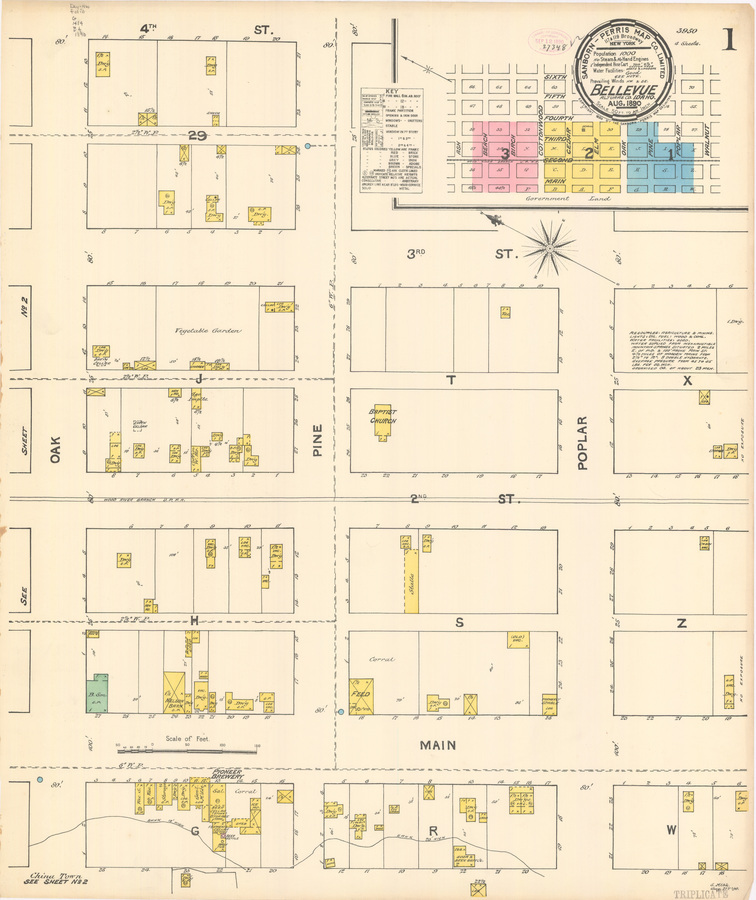
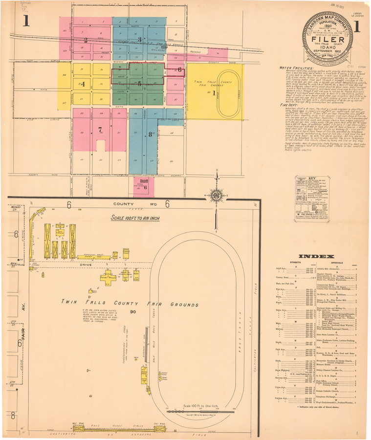
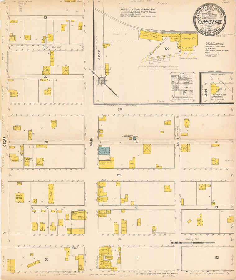
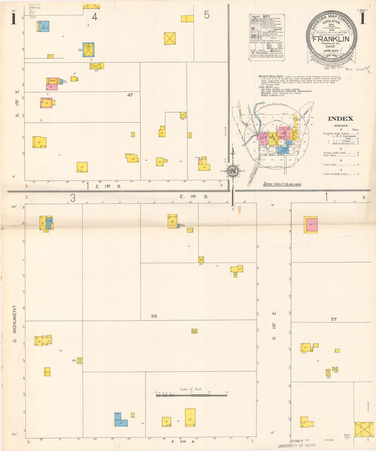
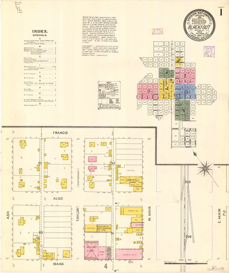
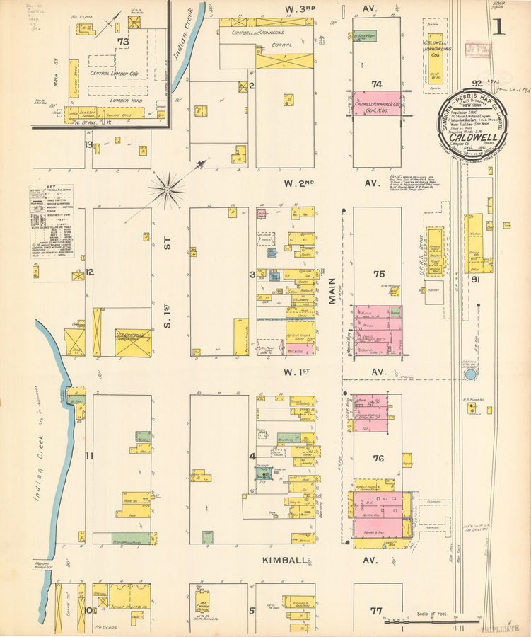
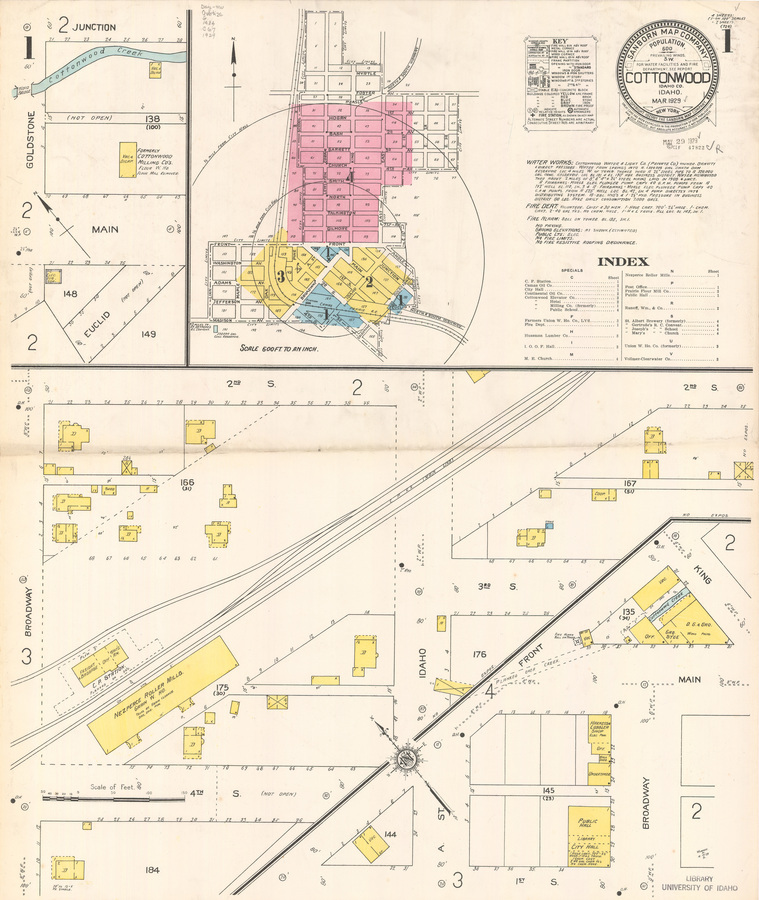
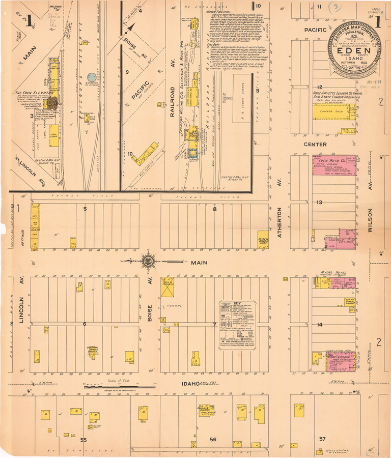
The Idaho Sanborn Maps digital collection consists of fire insurance maps created by the Sanborn Map Company. This collection of maps covers 42 counties and 81 cities in Idaho, from the 1880s to 1920s.
Learn More »Sample Items
Time Span
1884 to 1929
View Timeline
Objects
1226 Sanborn maps
View table
Collection as Data
Download this collection's metadata in a variety of reusable formats.
Metadata CSV Metadata JSON Subjects JSON Subjects CSV Geodata JSON Locations CSV Locations JSON Timeline JSON Facets JSON Source Code

