PDF
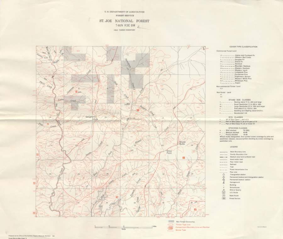
St. Joe National Forest Timber Inventory Map T46N R3E BM Item Info
- Title:
- St. Joe National Forest Timber Inventory Map T46N R3E BM
- Creator:
- US Department of Agriculture Forest Service
- Date Created (ISO Standard):
- 1960
- Description:
- A timber inventory map of the St. Joe National Forest. Map number T46N R3E BM.
- Subjects:
- maps forestry maps forests (plant communities)
- Location:
- St. Joe National Forest
- Idaho County:
- Latah County
- Latitude:
- 47.006
- Longitude:
- -116.5126
- Publisher:
- US Department of Agriculture Forest Service
- Source:
- John A. Schenk Papers (MG376)
- Source Identifier:
- MG376_F22_M15
- Type:
- Image;StillImage
- Format:
- application/pdf
- Language:
- eng
Source
- Preferred Citation:
- "St. Joe National Forest Timber Inventory Map T46N R3E BM", Idaho Forestry Research Collection, University of Idaho Library Digital Collections, https://www.lib.uidaho.edu/digital/forestryresearch/items/forestryresearch154.html
Rights
- Rights:
- In copyright, educational use permitted. Educational use includes non-commercial reproduction of text and images in materials for teaching and research purposes. For other contexts beyond fair use, including digital reproduction, please contact the University of Idaho Library Special Collections and Archives Department at libspec@uidaho.edu. The University of Idaho Library is not liable for any violations of the law by users.
- Standardized Rights:
- http://rightsstatements.org/vocab/InC-EDU/1.0/

