
IMAGE
Map, Heyburn State Park, 1935-36 Item Info
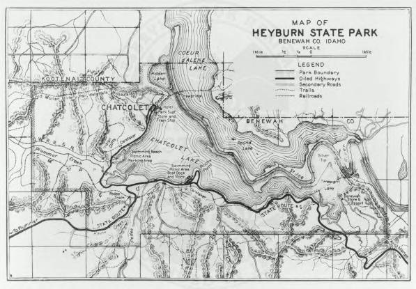
- Title:
- Map, Heyburn State Park, 1935-36
- CCC Camp Number:
- SP-1
- Creator:
- Idaho Department of Transportation
- Date Created:
- 1936-01-01
- Approximated Date:
- y
- Description:
- A 1935-36 map of Heyburn State Park, including terrain and labels
- Subjects:
- Heyburn State Park map campground
- Location:
- Kootenai County Heyburn State Park Lake Chatcolet
- Latitude:
- 47.362341
- Longitude:
- -116.782218
- Source:
- Idaho State Historical Society
- Source Identifier:
- Identifier80
- Original Format:
- map
- Type:
- image;stillimage
- Format:
- image/jpeg
Source
- Preferred Citation:
- "Map, Heyburn State Park, 1935-36", Civilian Conservation Corps in Idaho Collection, University of Idaho Library Digital Collections, https://www.lib.uidaho.edu/digital/cccidaho/items/cccidaho1741.html
Rights
- Rights:
- In Copyright - Educational Use Permitted. Please note these materials are not held by University of Idaho Library Special Collections and Archives. For more information, please contact the institution listed in the Source.
- Standardized Rights:
- http://rightsstatements.org/vocab/InC-EDU/1.0/