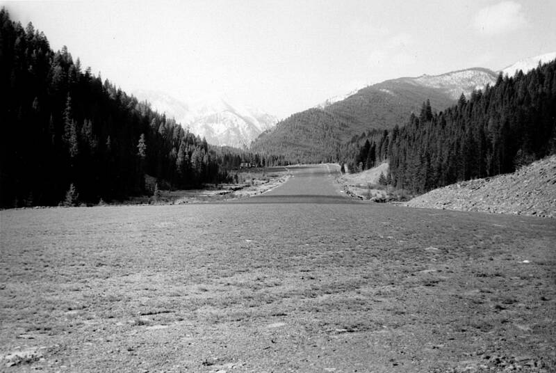
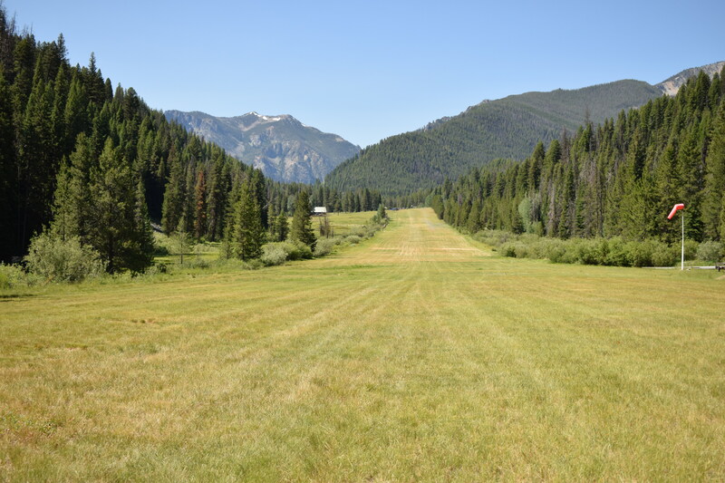
View of Goat Mountain from the northern end of the Big Creek Airstrip - c.1958 and 2019
This repeat photograph pair shows a different view of the Big Creek airstrip, looking to the south, as if the photograph was taken as the plane was landing on the runway. As a plane approaches the top of the airstrip, the pilot and passengers can appreciate Goat Mountain, a thick carpet of green forest, and think of how soon they’ll get to walk into the Big Creek Lodge for a hot breakfast or a cool drink.
Location: Payette National Forest, ID
Latitude & Longitude: 45.1367, -115.3181