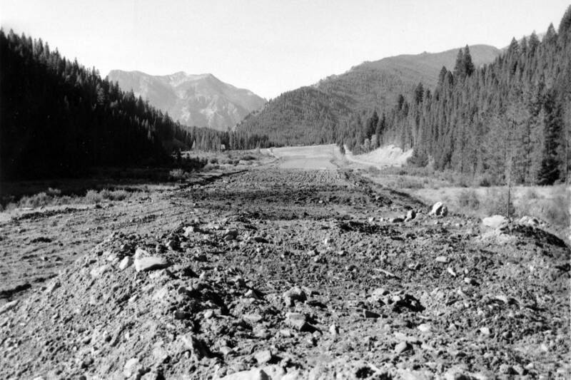
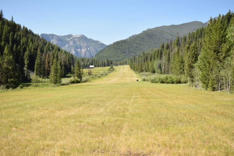
View of Goat Mountain from the northern end of the Big Creek Airstrip - c.1958 and 2019
In the 1940’s, significant drainage improvements were made to the airstrip. McCorkel Creek, running parallel to the runway on its eastern side, was quite popular with beavers, and their activity would repeatedly flood the airstrip.
Location: Payette National Forest, ID
Latitude & Longitude: 45.1361, -115.3186