PDF PREVIEW
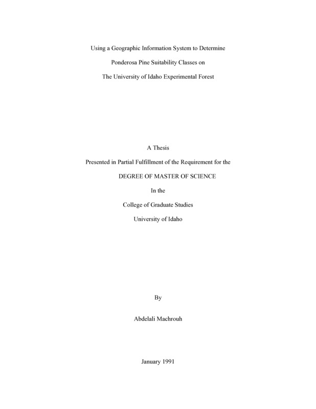
Using a Geographic Information System to Determine Ponderosa Pine Suitability Classes on the University of Idaho Experimental Forest Item Info
- Title:
- Using a Geographic Information System to Determine Ponderosa Pine Suitability Classes on the University of Idaho Experimental Forest
- Creator:
- Machrouh, Abdelali
- Date Created:
- 1991-01
- Description:
- Using GIS to determine Pinus ponderosa (Laws) suitability sites for the University of Idaho Experimental Forest has never been done before. Such research methodology can also be applied to other tree species and wildlife. Available environmentally map able factors for ponderosa pine were mapped using the GIS system ARC/INFO. Different factors were rated according to the scientific literature. Overlaying, which is essentially the operation of putting single feature map layers one on another was performed. A comparison between the Experimental Forest manager’s decision about the introduction of the ponderosa pine in the study area and the results gotten from the GIS analysis, using the linear combination method, shows that only 33.33% of the study results are correct. To improve on this performance, one should work with very precise ecological data, avoid elimination of small polygons on the output map and include a sufficient number of ecological factors in the study. An approach using a logical combination method may be better than the linear combination method used in this study.
- Document Type:
- Thesis
- Library Call Number:
- SD397.P6225M24 1991
- Subjects:
- ponderosa pine pinus ponderosa GIS geographical information system suitability site silviculture
- UIEF Unit:
- UIEF
- Location:
- UIEF
- Latitude:
- 46.869607
- Longitude:
- -116.733856
- Department:
- Department of Forest Resources
- Type:
- Text
- Format:
- application/pdf
Source
- Preferred Citation:
- "Using a Geographic Information System to Determine Ponderosa Pine Suitability Classes on the University of Idaho Experimental Forest", UIEF Research Exchange, University of Idaho Library Digital Collections, https://www.lib.uidaho.edu/digital/uief/items/uief_0051.html
Rights
- Rights:
- In copyright, educational use permitted.
- Standardized Rights:
- http://rightsstatements.org/vocab/InC-EDU/1.0/

