PDF
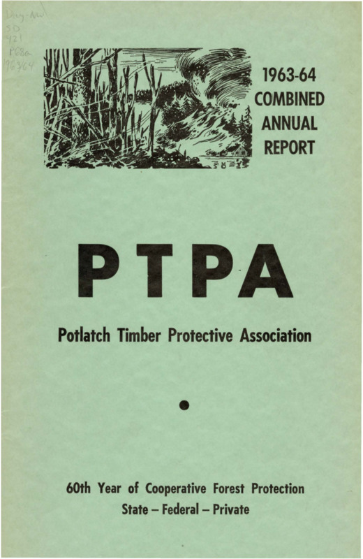
Combined Annual Reports Potlatch Timber Protective Association 1963-1964 Item Info
- Title:
- Combined Annual Reports Potlatch Timber Protective Association 1963-1964
- Creator:
- Potlatch Timber Protective Association
- Date Created (Archival Standard):
- 1963-1964
- Date Created (ISO Standard):
- 1964
- Description:
- The 1963-1964 combined annual reports of the Potlatch Timber Protective Association include financial reports, a report on blister rust control operations, and two separate reports from the Fire Warden on the 1963 and 1964 fire seasons. The 1963 fire season was characterized by severe thunderstorms which caused the majority of the 133 total fires (the largest number of fires since 1929), whereas 1964 was a wet fire season with less storm activity than normal. The warden reports on the Dworshak Dam project, burning permits, general operations and improvements, and how radios have replaced ground line telephones for main communications. The annual report features tables about climactic conditions and tables related to fire locations and damage during the 1963 and 1964 fire seasons.
- Subjects:
- annual reports financial statements associations fires (events) fire prevention firefighting equipment fire damage thunderstorms dams (hydraulic structures) telephones
- Location:
- Potlatch, Idaho
- Fire Locations:
- Kuykendahl Creek Goat Creek Fisher Creek Grice Ridge Windy Point Gold Butte Trapper Peak Meadow Creek Feather Creek Cedar Creek Windy Peak Gold Creek Round Meadow Creek Mason Butte Stoney Creek O'Donnell Creek Mallory Creek Isabella Ridge Breakfast Creek Elmberry Creek Bobs Creek Neva Hill Helmer, Idaho Hemlock Creek Patterson, Idaho Boathouse Creek Star Butte Isabella Creek Woesner Ridge Alderman Ridge Big Island Roger Creek Elk Butte Hansen, Idaho Weller Creek Cranberry Creek Bloom Creek Ladd's Creek Tick Ridge Ikes Creek Squaw Creek Jerico Peak Pivash Creek Bishop Creek Moose Meadows Boulder Peak Stoney Butte Morris Creek Ridge Box Canyon Squaw Mountain Ruby Creek Rodgers Ridge Smith Ridge Crescendo Peak
- Latitude:
- 46.92237574
- Longitude:
- -116.898026
- Source:
- Day - NW Collection, University of Idaho Library Special Collections and Archives
- Source Identifier:
- pot_tpa1963-1964
- Type:
- Text
- Format:
- application/pdf
Source
- Preferred Citation:
- "Combined Annual Reports Potlatch Timber Protective Association 1963-1964", Idaho Timber Protective Association Reports, University of Idaho Library Digital Collections, https://www.lib.uidaho.edu/digital/tpa/items/tpa038.html
Rights
- Rights:
- In copyright, educational use permitted. Educational use includes non-commercial reproduction of text and images in materials for teaching and research purposes. For other contexts beyond fair use, including digital reproduction, please contact the University of Idaho Library Special Collections and Archives Department at libspec@uidaho.edu. The University of Idaho Library is not liable for any violations of the law by users.
- Standardized Rights:
- http://rightsstatements.org/vocab/InC-EDU/1.0/

