
IMAGE
Unsurveyed map of Taylor Ranch Item Info
- Title:
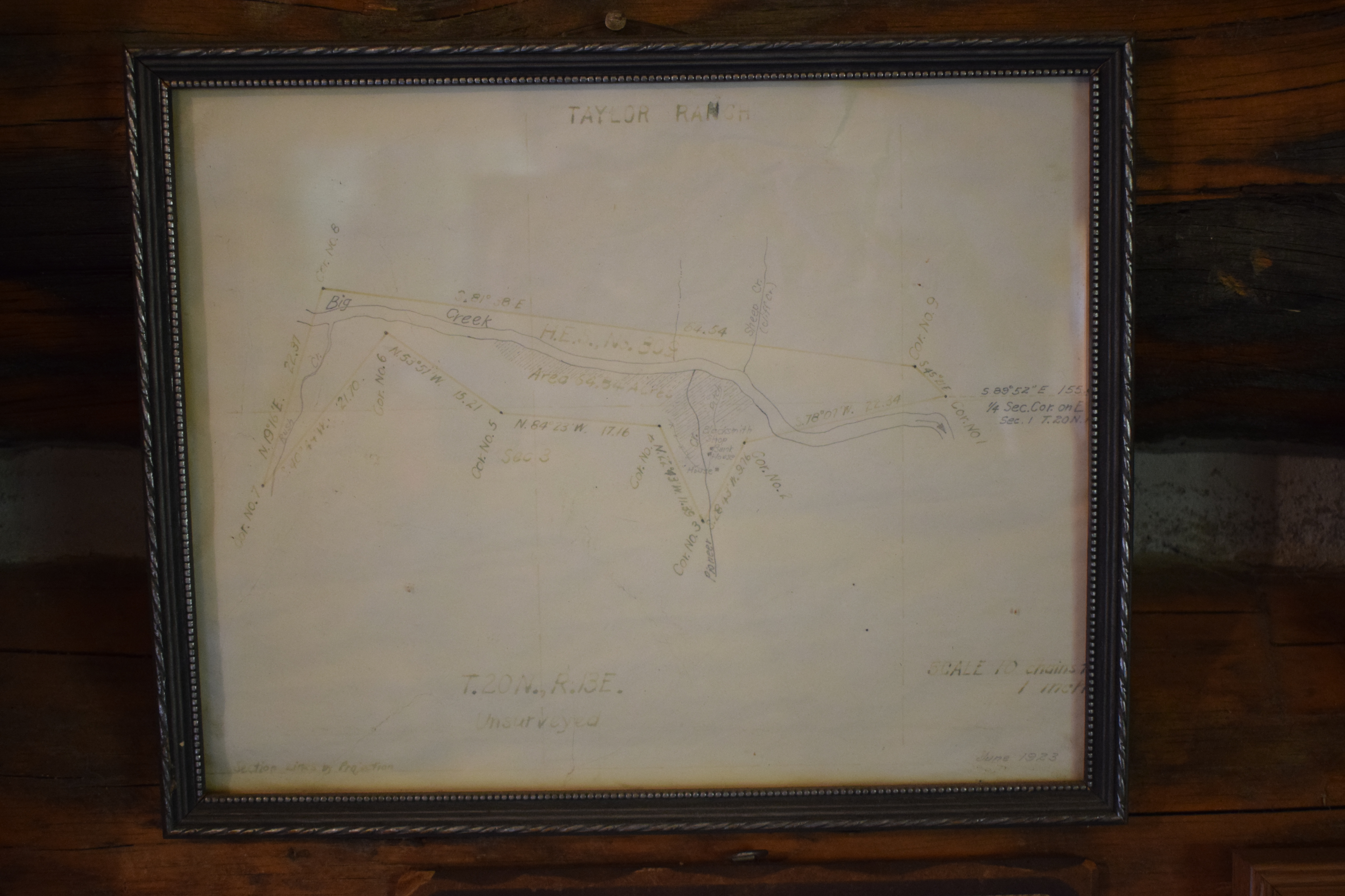
- Unsurveyed map of Taylor Ranch
- Date Created:
- 1923
- Description:
- Unsurveyed map of Taylor Ranch
- Latitude:
- 45.103059
- Longitude:
- -114.850558
- Source Identifier:
- DSC_0129
- Resource Type:
- artifacts
- Type:
- Image;StillImage
- Format:
- image/jpeg
Source
- Preferred Citation:
- "Unsurveyed map of Taylor Ranch", Taylor Wilderness Research Station Archive, University of Idaho Library Digital Initiatives
- Reference Link:
- https://www.lib.uidaho.edu/digital/taylor-archive/items/twrs012.html
Rights
- Rights:
- In Copyright, educational use permitted. Educational use includes non-commercial use of text and images in materials for teaching and research purposes. The University of Idaho Library is not liable for any violations of the law by users.