
PDF
Spotted Knapweed Monitoring on Big Creek Item Info
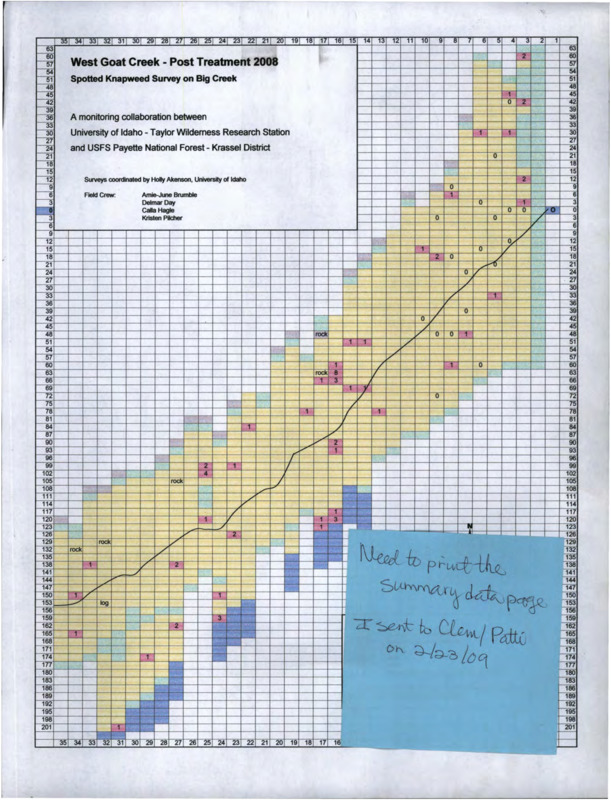
- Title:
- Spotted Knapweed Monitoring on Big Creek
- Date Created:
- 23 February 2009
- Description:
- Graphs, maps, summaries, charts, and other information on the knapweed monitoring and removal project conducted by the University of Idaho and United States Forest Service, Payette National Forest.
- Subjects:
- centaurea (genus) maps (documents) monitoring charts (graphic documents) graphs
- Latitude:
- 45.1028
- Longitude:
- -114.8517
- Source Identifier:
- b7-Weeds-013
- Resource Type:
- map
- Type:
- Text
- Format:
- application/pdf
Source
- Preferred Citation:
- "Spotted Knapweed Monitoring on Big Creek", Taylor Wilderness Research Station Archive, University of Idaho Library Digital Initiatives
- Reference Link:
- https://www.lib.uidaho.edu/digital/taylor-archive/items/b7-weeds-013.html
Rights
- Rights:
- In Copyright, educational use permitted. Educational use includes non-commercial use of text and images in materials for teaching and research purposes. The University of Idaho Library is not liable for any violations of the law by users.