
PDF
Flight Map of Idaho/Montana Border Item Info
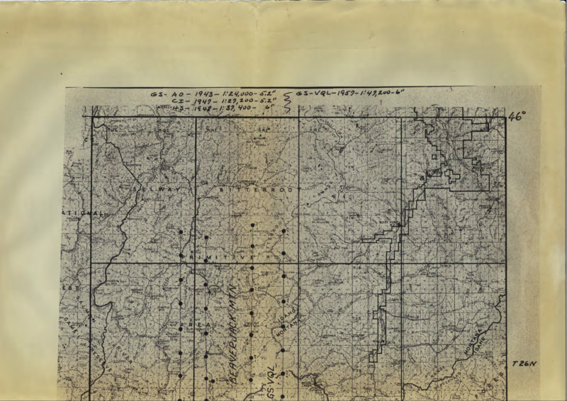
- Title:
- Flight Map of Idaho/Montana Border
- Date Created:
- 1957
- Description:
- Flight map of Idaho/Montana border, surrounding and south of Bitterroot National Forest
- Subjects:
- base maps navigation charts
- Latitude:
- 45.525175
- Longitude:
- -114.496449
- Source Identifier:
- b06-Maps05
- Resource Type:
- map
- Type:
- Text
- Format:
- application/pdf
Source
- Preferred Citation:
- "Flight Map of Idaho/Montana Border", Taylor Wilderness Research Station Archive, University of Idaho Library Digital Initiatives
- Reference Link:
- https://www.lib.uidaho.edu/digital/taylor-archive/items/b06-maps05.html
Rights
- Rights:
- In Copyright, educational use permitted. Educational use includes non-commercial use of text and images in materials for teaching and research purposes. The University of Idaho Library is not liable for any violations of the law by users.