IMAGE
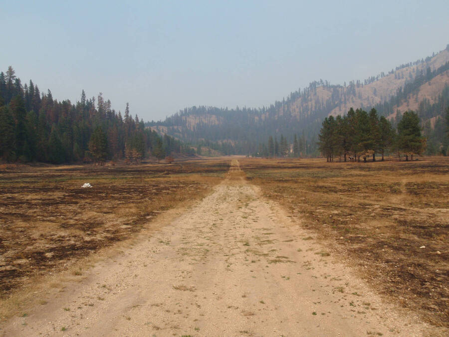
Shearer Airstrip 2012, burned over after wildfire Item Info
- Title:
- Shearer Airstrip 2012, burned over after wildfire
- Creator:
- Ray Kimball
- Date Created (ISO Standard):
- 2012-09-03
- Description:
- Shearer Airstrip 2012, burned over after wildfire
- Section:
- Wilderness Portraits
- Location:
- Selway-Bitterroot Wilderness (Idaho and Mont.)
- Idaho County:
- Idaho County
- Latitude:
- 45.98692426
- Longitude:
- -114.8427221
- Source:
- Ray Kimball
- Original URL:
- https://sbw.lib.uidaho.edu/portraits.html
- Source Identifier:
- ShearerAirstrip'12burnedover
- Type:
- Image;StillImage
- Format:
- image/jpeg
- Language:
- eng
Source
- Preferred Citation:
- "Shearer Airstrip 2012, burned over after wildfire", The Selway-Bitterroot Wilderness History Project, University of Idaho Library Digital Collections, https://www.lib.uidaho.edu/digital/sbw/items/sbw276.html
Rights
- Rights:
- Ray Kimball. In Copyright - Educational Use Permitted. For more information, please contact University of Idaho Library Special Collections and Archives Department at libspec@uidaho.edu.
- Standardized Rights:
- http://rightsstatements.org/vocab/InC-EDU/1.0/

