
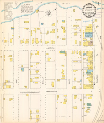
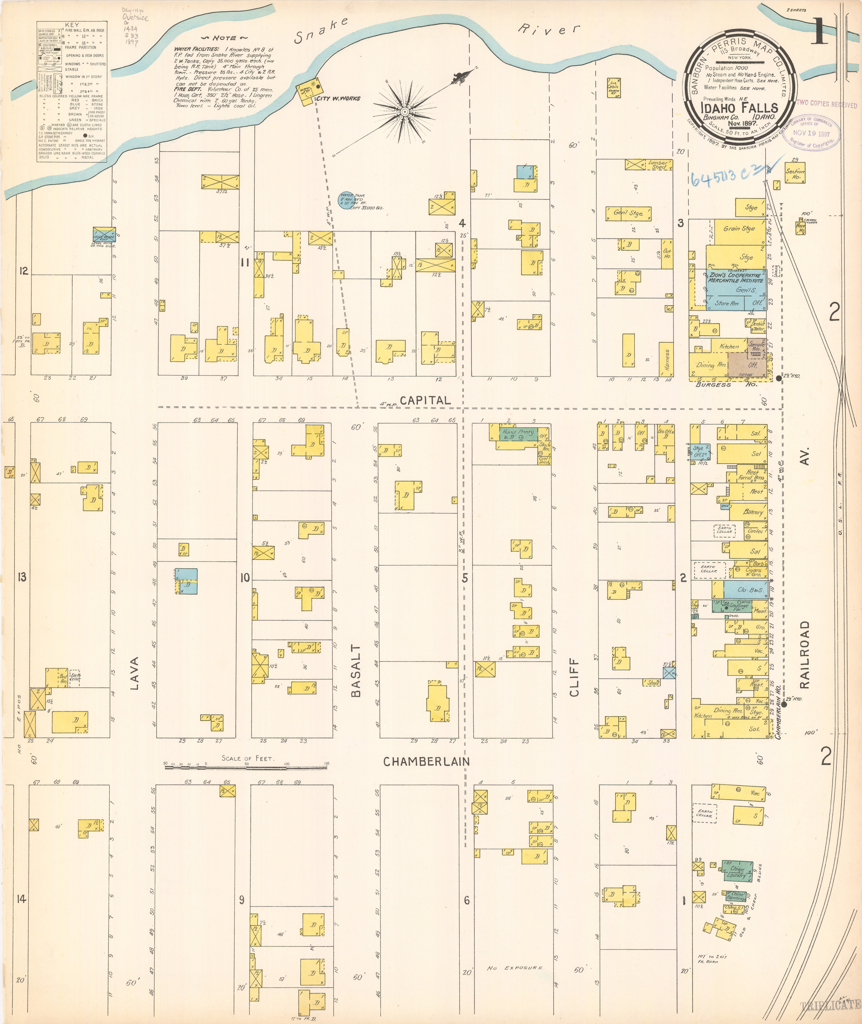
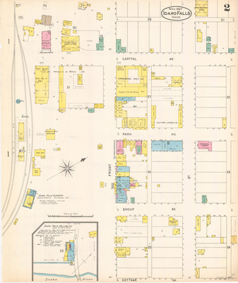
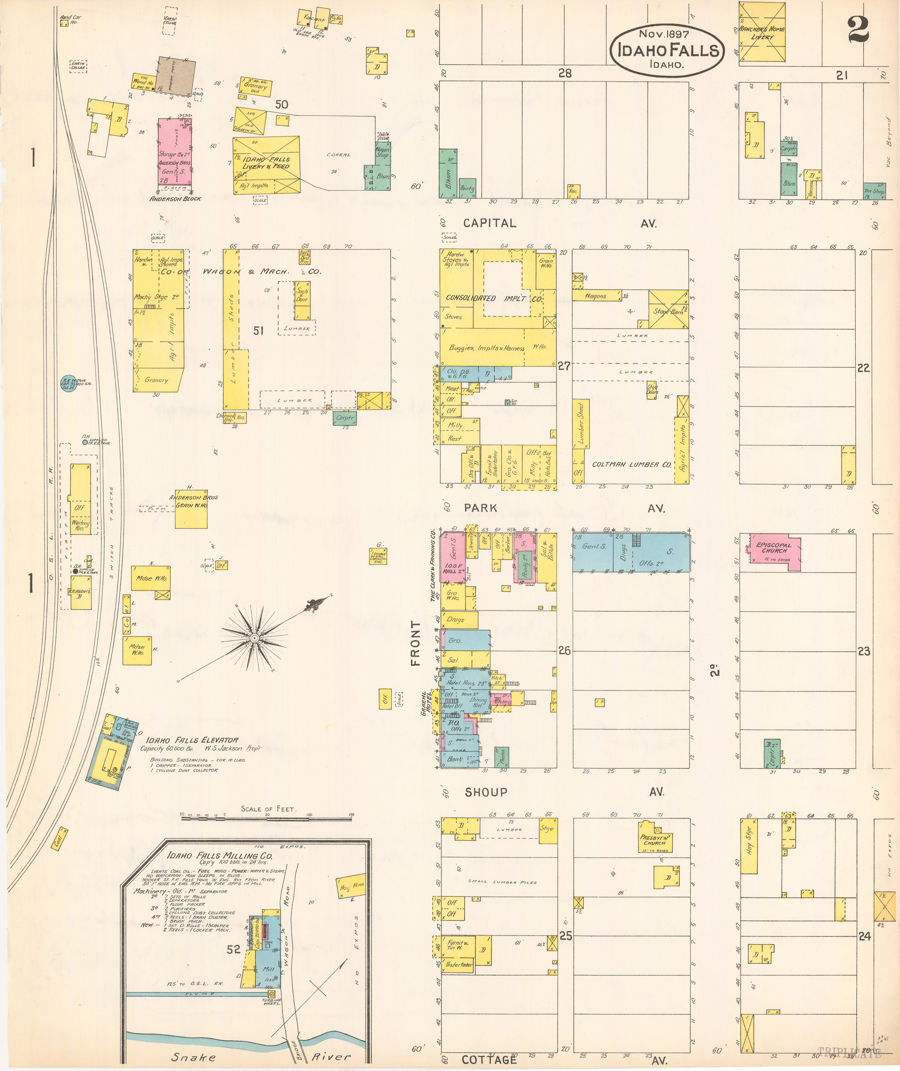
Idaho Falls, Bonneville County, 1897
- Title:
- Sanborn Map of Idaho Falls, Bonneville County, Idaho, 1897
- Creator:
- Sanborn Map Company
- Date Created (ISO Standard):
- 1897
- Description:
- group of map pages highlighting detailed information about the location's features
- City:
- Idaho Falls
- County:
- Bonneville
- Latitude:
- 43.49292353
- Longitude:
- -112.0446971
- Type:
- Image;StillImage
- Format:
- record
Source
- Preferred Citation:
- "Sanborn Map of Idaho Falls, Bonneville County, Idaho, 1897", Idaho Sanborn Maps, University of Idaho Library Digital Collections, https://www.lib.uidaho.edu/digital/sanborn/items/idahofalls-1897.html
Rights
- Rights:
- No Copyright. Material made available by source. For more information, please contact University of Idaho Library Special Collections and Archives Department at libspec@uidaho.edu.
- Standardized Rights:
- https://creativecommons.org/publicdomain/mark/1.0/