IMAGE
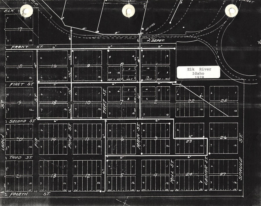
Town Map Item Info
- Title:
- Town Map
- Date Created (ISO Standard):
- 1928
- Approximated Date:
- yes
- Description:
- A map depicting lots and streets of Elk River, Idaho from Front St. to Fourth St. and Fir St. to Spruce St.
- Subjects:
- town maps
- Location:
- Potlatch, Idaho
- Latitude:
- 46.782145
- Longitude:
- -116.180826
- Source:
- Lee Gale Scrapbooks: Elk River, Potlatch Historical Society
- Source Identifier:
- Gale_Elk River_114
- Type:
- Image;StillImage
- Format:
- image/jpeg
Source
- Preferred Citation:
- "Town Map", Potlatch Historical Society Collection, University of Idaho Library Digital Collections, https://www.lib.uidaho.edu/digital/phs/items/phs642.html
Rights
- Rights:
- In copyright, educational use permitted. Educational use includes non-commercial reproduction of text and images in materials for teaching and research purposes. For other contexts beyond fair use, including digital reproduction, please contact the University of Idaho Library Special Collections and Archives Department at libspec@uidaho.edu. The University of Idaho Library is not liable for any violations of the law by users.
- Standardized Rights:
- http://rightsstatements.org/vocab/InC-EDU/1.0/

