PDF
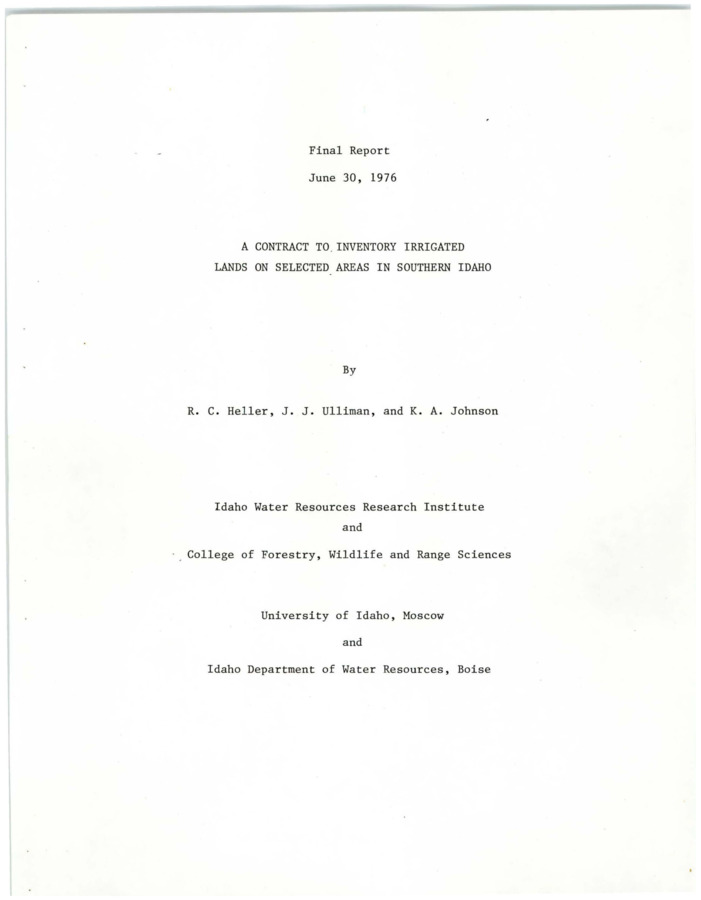
A contract to inventory irrigated lands on selected areas in southern Idaho. Final report Item Info
- Title:
- A contract to inventory irrigated lands on selected areas in southern Idaho. Final report
- Authors:
- Heller, R.C.; Ulliman, J.J.; Johnson, K.A.
- Contributors:
- Idaho Water Resources Research Institute; IWRRI
- Date:
- 1976-06-30
- Description:
- The objective of the investigation was to determine if LANDSAT imagery can be effectively used to inventory irrigated cropland. The irrigated cropland of three test sites in Idaho were inventoried using multistage variable probability sampling procedures. Multiscale remote sensing data, LANDSAT imagery (1:1,000,000), U-2 photography (1:125,000) and large scale 70mm photography (1:8,000) were used to conduct the multistage sampling and obtain additional agricultural land use information. Multiscale photography does provide an effective means of obtaining specific agricultural land use information such as irrigation methods and crop types.
- Subjects:
- aerial photography water resources planning
- Collection:
- IWRRI
- Source:
- Idaho Water Resources Research Institute, University of Idaho
- Identifier:
- IWRRI Number 197606
- Publisher:
- Idaho Water Resources Research Institute, University of Idaho
- Contributing Institution:
- University of Idaho
- Type:
- Text
- Format:
- application/pdf
- Cataloger:
- wbv
- Date Digitized:
- 2012
- Language:
- eng
Source
- Preferred Citation:
- "A contract to inventory irrigated lands on selected areas in southern Idaho. Final report", Idaho Waters Digital Library, University of Idaho Library Digital Collections, https://www.lib.uidaho.edu/digital/iwdl/items/iwdl-heller_1976.html
Rights
- Rights:
- In copyright, educational use permitted. Educational use includes non-commercial reproduction of text and images in materials for teaching and research purposes. For other contexts beyond fair use, including digital reproduction, please contact the University of Idaho Library Special Collections and Archives Department at libspec@uidaho.edu. The University of Idaho Library is not liable for any violations of the law by users.
- Standardized Rights:
- http://rightsstatements.org/vocab/InC-EDU/1.0/

