PDF
Evaluation of remote sensing of leaf area index for estimating evapotranspiration on irrigated lands. Technical completion report for USGS 104b project 2005ID 54B Item Info
- Title:
- Evaluation of remote sensing of leaf area index for estimating evapotranspiration on irrigated lands. Technical completion report for USGS 104b project 2005ID 54B
- Authors:
- Contor, B.; Rafn, E.
- Date:
- 2007-06
- Description:
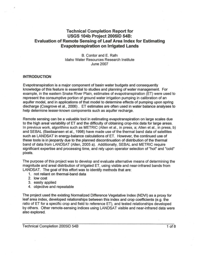
- Evapotranspiration is a major component of basin water budgets and consequently knowledge of this feature is essential to studies and planning of water management. For example, in the eastern Snake River Plain, estimates of evapotranspiration (ET) were used to represent the consumptive portion of groundwater irrigation pumping in calibration of an aquifer model, and in applications of that model to determine effects of pumping upon spring discharge (Cosgrove et aI., 2006). ET estimates are often used in water balance analyses to help determine lesser-known components such as aquifer recharge. Remote sensing can be a valuable tool in estimating evapotranspiration on large scales due to the high areal variability of ET and the difficulty of obtaining crop-mix data for large areas. In previous work, algorithms such as METRIC (Allen et aI., in press, a; Allen et aI., in press, b) and SEBAL (Bastiaansen et aI., 1998) have made use of the thermal band data of satellites such as LANDSAT in energy-balance calculations of ET. However, the continued use of these tools is in jeopardy due to the planned discontinuation of distribution of the thermal band of data from LANDSAT (Allen, 2005 a). Additionally, SEBAL and METRIC require significant expertise and processing time, and rely upon operator selection of "hot" and "cold" pixels. The purpose of this project was to develop and evaluate alternative means of determining the magnitude and areal distribution of irrigated ET, using visible and near-infrared bands from LANDSAT. The goal of this effort was to identify methods that are: 1. not reliant on thermal-band data, 2. low cost, 3. easily applied and, 4. objective and repeatable.
- Subjects:
- water budget evapotranspiration remote sensing
- Location:
- Snake River Plain Aquifer; Southern Idaho
- Latitude:
- 42.96
- Longitude:
- -115.13
- Collection:
- Boise Basin
- Source:
- Idaho Water Resources Research Institute; University of Idaho
- Publisher:
- Idaho Water Resources Research Institute; University of Idaho
- Contributing Institution:
- University of Idaho
- Type:
- Text
- Format:
- application/pdf
- Cataloger:
- KIT
- Language:
- eng
Source
- Preferred Citation:
- "Evaluation of remote sensing of leaf area index for estimating evapotranspiration on irrigated lands. Technical completion report for USGS 104b project 2005ID 54B", Idaho Waters Digital Library, University of Idaho Library Digital Collections, https://www.lib.uidaho.edu/digital/iwdl/items/iwdl-2007-06.html
Rights
- Rights:
- In copyright, educational use permitted. Educational use includes non-commercial reproduction of text and images in materials for teaching and research purposes. For other contexts beyond fair use, including digital reproduction, please contact the University of Idaho Library Special Collections and Archives Department at libspec@uidaho.edu. The University of Idaho Library is not liable for any violations of the law by users.
- Standardized Rights:
- http://rightsstatements.org/vocab/InC-EDU/1.0/

