PDF
The use of remote sensing techniques and the universal soil loss equation to determine soil erosion. Research technical completion report, project A-080-IDA Item Info
- Title:
- The use of remote sensing techniques and the universal soil loss equation to determine soil erosion. Research technical completion report, project A-080-IDA
- Authors:
- Schuchard, K. M.; Tennyson, L. C.
- Date:
- 1982-12
- Description:
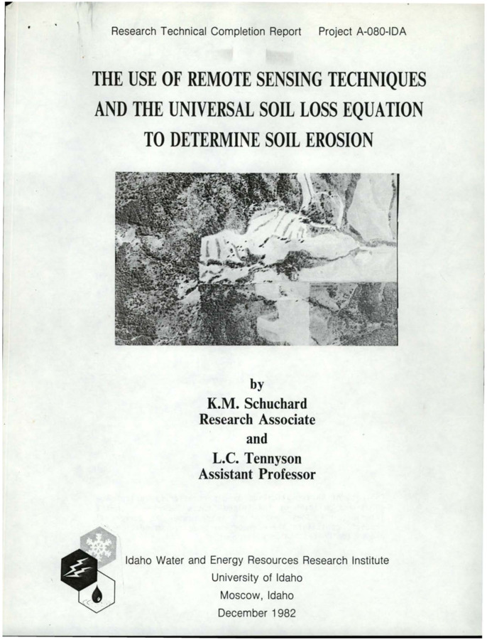
- Satellite data with ancillary watershed information was used to determine soil erosion of agriculture, forest, and rangelands in the southern portion of the Hangman Creek watershed, Benewah County, Idaho. Vegetation cover types derived from satellite data and the VICAR/IBIS image processing computer software package were determined with 89 percent accuracy. The vegetation cover types identified on the study area were dense-mixed bluegrass, pasture and brush. Soil erosion (tons/acre/year) was estimated with the Universal Soil Loss Equation. Annual soil loss in the study area ranged from 0.003 tons/acre/year in the dense to mixed-forest cover type to 18.7 tons/acre/year in the wheat and lentil cover types. Annual erosion was compared with the annual soil loss tolerance to determine critical erosion areas.
- Subjects:
- soil erosion remote sensing satellite technology land use vegetation
- Location:
- Hangman Creek; Northern Idaho
- Idaho County:
- Benewah County
- Latitude:
- 47.187
- Longitude:
- -116.99
- Collection:
- Coeur d'Alene Basin
- Source:
- Idaho Water and Energy Resources Research Institute, University of Idaho
- Identifier:
- IWRRI Number 198319
- Publisher:
- Idaho Water and Energy Resources Research Institute, University of Idaho
- Contributing Institution:
- University of Idaho
- Type:
- Text
- Format:
- application/pdf
- Cataloger:
- KIT
- Date Digitized:
- 2017-08-28
- Language:
- eng
Source
- Preferred Citation:
- "The use of remote sensing techniques and the universal soil loss equation to determine soil erosion. Research technical completion report, project A-080-IDA", Idaho Waters Digital Library, University of Idaho Library Digital Collections, https://www.lib.uidaho.edu/digital/iwdl/items/iwdl-198319.html
Rights
- Rights:
- In copyright, educational use permitted. Educational use includes non-commercial reproduction of text and images in materials for teaching and research purposes. For other contexts beyond fair use, including digital reproduction, please contact the University of Idaho Library Special Collections and Archives Department at libspec@uidaho.edu. The University of Idaho Library is not liable for any violations of the law by users.
- Standardized Rights:
- http://rightsstatements.org/vocab/InC-EDU/1.0/

