PDF
GIS Methodologies to Identify Deep Volcanic Ash Cap Soils Item Info
- Title:
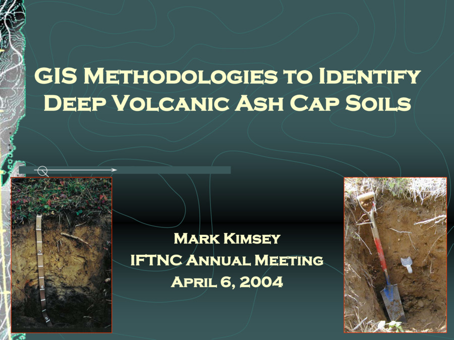
- GIS Methodologies to Identify Deep Volcanic Ash Cap Soils
- Creator:
- Mark Kimsey
- Date Created (ISO Standard):
- 2004
- Description:
- 2004 Annual Meeting Presentation
- Subjects:
- Presentation
- Source Identifier:
- 2004_Kimsey_Ash Cap Soils
- Type:
- Text
- Format:
- application/pdf
Source
- Preferred Citation:
- "GIS Methodologies to Identify Deep Volcanic Ash Cap Soils", Intermountain Forestry Cooperative, University of Idaho Library Digital Collections, https://www.lib.uidaho.edu/digital/iftnc/items/iftnc3396.html
Rights
- Rights:
- This document is provided by the University of Idaho Library for use by University of Idaho students, staff, and faculty. All rights to the document linked from this metadata belong to the author, rights holder, and/or provider. For more information contact The Intermountain Forestry Cooperative, https://www.uidaho.edu/cnr/ifc
- Standardized Rights:
- http://rightsstatements.org/vocab/InC-EDU/1.0/

