IMAGE
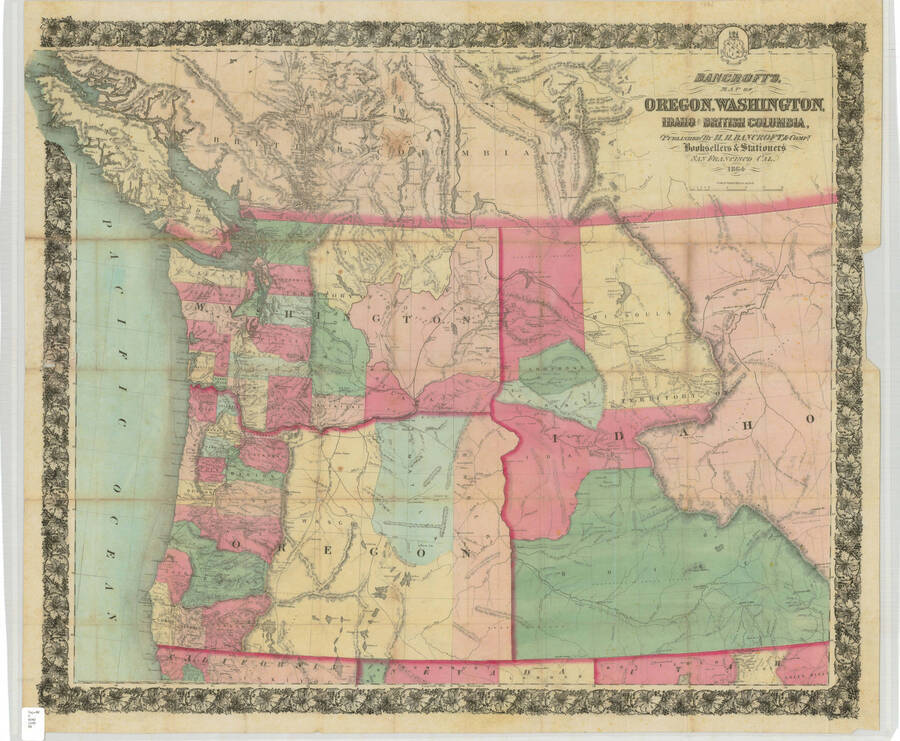
Bancroft's Map of Oregon, Washington, Idaho and British Columbia Item Info
- Title:
- Bancroft's Map of Oregon, Washington, Idaho and British Columbia
- Date Created (ISO Standard):
- 1863
- Description:
- 1863 Map of Oregon, Washington, Idaho and British Columbia. San Francisco, CA : H.H. Bancroft, 1864 c. 1863 1 map : col. ; 84 x 97 cm.
- Coverage:
- Idaho Washington (State) Oregon British Columbia
- ArcGIS georectified digital map:
- https://uidaho.maps.arcgis.com/home/item.html?id=f2995acc4a0140d0ac80876a9b6721b4
- Source:
- Day NW G 4240 1863 B#, University of Idaho Library Special Collections and Archives, http://www.lib.uidaho.edu/special-collections/
- Source Identifier:
- bancroft_1863
- Type:
- Image;StillImage
- Format:
- image/jpeg
Source
- Preferred Citation:
- "Bancroft's Map of Oregon, Washington, Idaho and British Columbia", Idaho Historical Maps Collection, University of Idaho Library Digital Collections, https://www.lib.uidaho.edu/digital/historicalmaps/items/spec_hm6.html
Rights
- Rights:
- Material determined to be in Public Domain based on date of publication. Material made available by the University of Idaho Library. For more information, please contact University of Idaho Library Special Collections and Archives Department at libspec@uidaho.edu.
- Standardized Rights:
- https://creativecommons.org/publicdomain/mark/1.0/

