PDF
Updating Forest Road Maps with Panoramic Aerial Photography Item Info
- Title:
- Updating Forest Road Maps with Panoramic Aerial Photography
- Authors:
- Befort, W.A. Heller, R.C. Ulliman, J.J.
- Date Created:
- 1980-06-01
- Description:
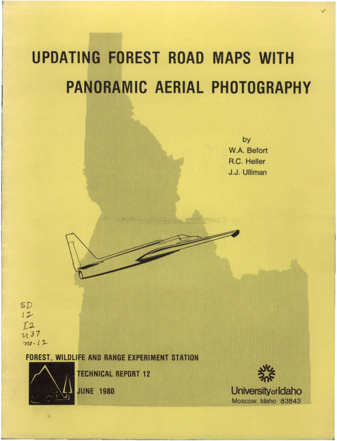
- The report discusses the use of panoramic high-altitude air photographs to clearly depict forest roads and trails using a conventional image-transfer device to compensate for panoramic distortion.
- Relation:
- Technical Report - June 1980 (No. 12)
- Source:
- Idaho SD12 I2 U37, University of Idaho Library Special Collections and Archives, http://www.lib.uidaho.edu/special-collections/
- Type:
- Text
- Format:
- application/pdf
Source
- Preferred Citation:
- "Updating Forest Road Maps with Panoramic Aerial Photography", Idaho Forest, Wildlife, and Range Experiment Station Collection, University of Idaho Library Digital Collections, https://www.lib.uidaho.edu/digital/fwres/items/fwres130.html
Rights
- Rights:
- Educational use includes non-commercial use of text and images in materials for teaching and research purposes. Digital reproduction permissions granted by the University of Idaho Library. For other uses beyond free use, please contact University of Idaho Library Special Collections and Archives Department at libspec@uidaho.edu.
- Standardized Rights:
- http://rightsstatements.org/vocab/InC-EDU/1.0/

