IMAGE
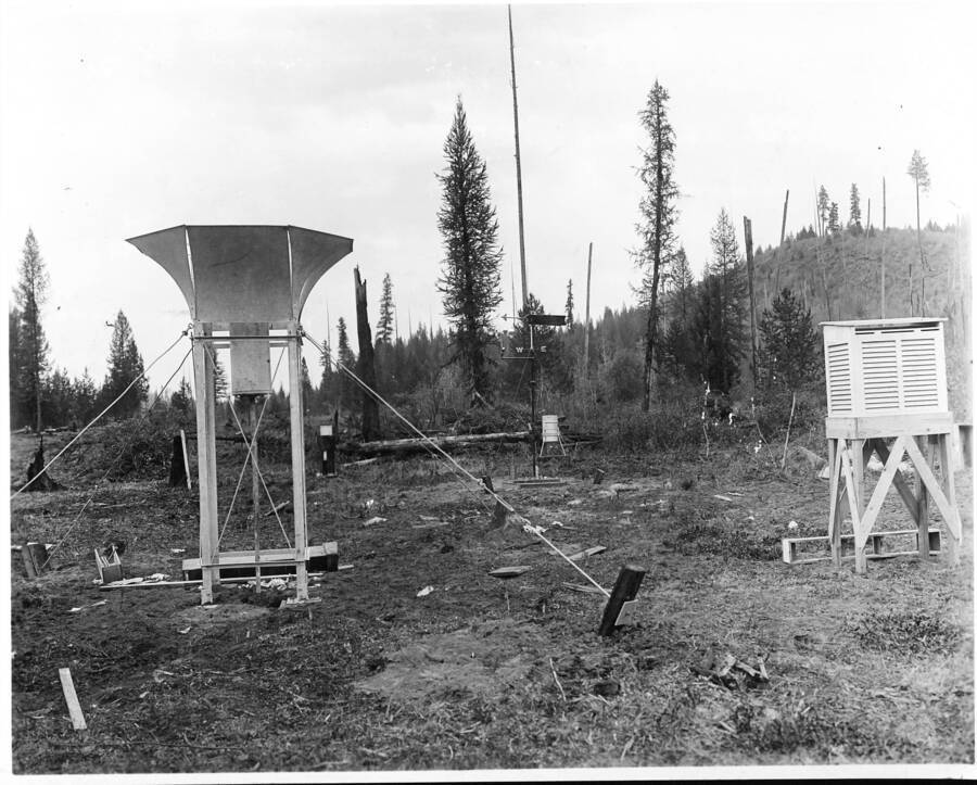
The control meteorological station on Benton Flat looking north Item Info
- Title:
- The control meteorological station on Benton Flat looking north
- Photographer:
- Rockwell, Frank I.
- Date Created:
- 1911
- Description:
- The control meteorological station on Benton Flat looking north. Hill in background is site of South West slope meteorological station and experimental planting are for that slope.
- Location:
- Bonner County, Idaho
- Idaho County:
- Bonner County
- Features:
- Priest River Experimental Forest Benton Flat Nursery
- Latitude:
- 48.35194444
- Longitude:
- -116.8402778
- Moscow Number:
- 1232
- Forest Service Number:
- 95720
- Source:
- The sources for the photos in this collection were as follows: Priest River Experimental Forest, Moscow Foresty Sciences Lab, USDA-Forest Service Region 1 archive, University of Montana Library Gisborne Collection, and Ms. Susan Marsh
- Source Identifier:
- FirstControlWS4
- Type:
- Image;StillImage
- Format:
- image/jpeg
Source
- Preferred Citation:
- "The control meteorological station on Benton Flat looking north", Experimental Forest and Savenac Nursery Archive, University of Idaho Library Digital Collections, https://www.lib.uidaho.edu/digital/expforest/items/expforsav449.html
Rights
- Rights:
- Material produced by the United States Forest Service and is in Public Domain. For more information, please contact University of Idaho Library Special Collections and Archives Department at libspec@uidaho.edu.
- Standardized Rights:
- https://creativecommons.org/publicdomain/mark/1.0/

