IMAGE
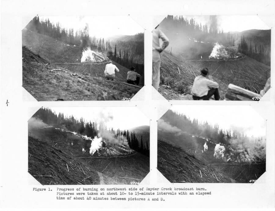
Progress of burning on northwest side of Snyder Creek broadcast burn Item Info
- Title:
- Progress of burning on northwest side of Snyder Creek broadcast burn
- Photographer:
- Watt, R.F.
- Date Created:
- 1952
- Description:
- Page 4, Figure 1 from the 1952 Annual Report, Caption reads: "Progress of burning on northwest side of Snyder Creek broadcast burn. Pictures taken at about 10- to 15-minute intervals with an elapsed time of about 40 minutes between pictures A and D."
- Location:
- Kootenai County, Idaho
- Idaho County:
- Kootenai County
- Features:
- Deception Creek Experimental Forest Snyder Creek
- Latitude:
- 47.73083333
- Longitude:
- -116.4947222
- Moscow Number:
- 628
- Forest Service Number:
- From upper left: 47-0684, 47-0685, 47-0686, 47-0687
- Source:
- The sources for the photos in this collection were as follows: Priest River Experimental Forest, Moscow Foresty Sciences Lab, USDA-Forest Service Region 1 archive, University of Montana Library Gisborne Collection, and Ms. Susan Marsh
- Source Identifier:
- Annual_1952_P_05
- Type:
- Image;StillImage
- Format:
- image/jpeg
Source
- Preferred Citation:
- "Progress of burning on northwest side of Snyder Creek broadcast burn", Experimental Forest and Savenac Nursery Archive, University of Idaho Library Digital Collections, https://www.lib.uidaho.edu/digital/expforest/items/expforsav43.html
Rights
- Rights:
- Material produced by the United States Forest Service and is in Public Domain. For more information, please contact University of Idaho Library Special Collections and Archives Department at libspec@uidaho.edu.
- Standardized Rights:
- https://creativecommons.org/publicdomain/mark/1.0/

