
PDF
Drawn map of Central and West Mexico, Spence, and Weigand Item Info
- Title:
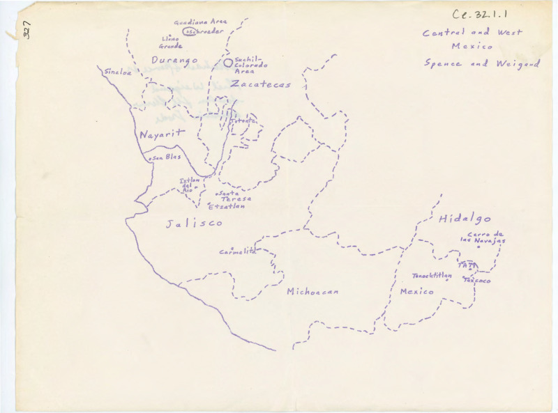
- Drawn map of Central and West Mexico, Spence, and Weigand
- Archival Date:
- N/A
- Description:
- Drawn map of central and west Mexico, Spence, and Weigand. There is a handwritten note on the back of the paper.
- Subjects:
- maps notes illustration
- Location:
- Mexico
- Latitude:
- 24.09827611371457
- Longitude:
- -102.28942228625736
- Source Identifier:
- CE_B32_F1-Item1
- Source:
- Donald E. Crabtree Lithic Technology Collection, Alfred W. Bowers Laboratory of Anthropology, University of Idaho
- Language:
- eng
- Original format:
- map
- Type:
- Image;StillImage
- Format:
- application/pdf
Source
- Preferred Citation:
- "Drawn map of Central and West Mexico, Spence, and Weigand", Donald E. Crabtree Lithic Technology Collection, University of Idaho Library Digital Collections, https://www.lib.uidaho.edu/digital/crabtree/items/ce_b32_f1-item1.html
Rights
- Rights:
- In Copyright
- Standardized Rights:
- http://rightsstatements.org/vocab/InC-EDU/1.0/