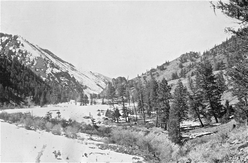
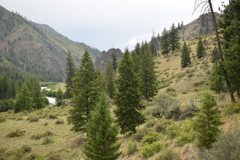
The Vines airstrip area - c.1930 and 2019
This repeat photograph pair is a good example of what happens when the contemporary photographer doesn’t have the same resources as the original photographer. After much scurrying around, the conclusion was that the historical photograph must have been taken from a plane, as it was virtually impossible to get the same height and location, or it was taken from a tree that is no longer standing. Therefore: the imperfect repeat photograph. Both photos do however show the Vines airstrip area. The airstrip is on the south side of Big Creek, on the opposite side of the trail, and landing at it is quite technical. John Vines was the man who settled in this spot, which is in the Garden Creek area. The rock outcropping that can be seen in the Garden Ranch Flat photograph pair is in the center of the photos here.
Location: Vines Airstrip Big Creek Frank Church-River of No Return Wilderness, ID
Latitude & Longitude: 45.1332, -114.9965