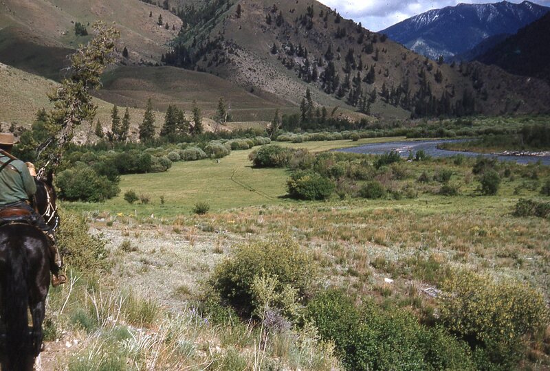
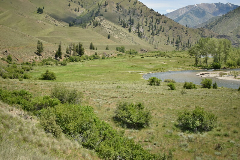
Looking east at Big Creek and the Cabin Creek meadows - 1955 and 2019
The large meadow in these photographs was hayed during much of the time Cabin Creek was occupied by year-round and part-time residents, up until this land was designated wilderness in 1980. Of note is a particular change to the riparian vegetation. In 1955, there were more willow stands in the meadow and the cottonwood grove seen in the contemporary photograph was not present.
Big Creek has braided and re-channelized, shifting position with the assistance of human and natural forces in the past 60 years. Some differences are due to channelization with the intent of creating more hay pasture; the fire in 2000 also played a role, moving more sediment into the riverbed and along the banks.
Some changes cannot be captured in a repeat photograph, such as what the rest of Big Creek looks like in this meadow area, or what wildlife are or are not present. Moose were frequently seen in Cabin Creek meadows but their population declined after the big fire of 2000. The fire should have stimulated food for the moose, as it did in Crescent Meadows where the willows exploded in numbers. Initially, however, the moose were at a disadvantage with little food and little cover after the fires, and so were vulnerable to starvation, and to predation by wolves and mountain lions.
Location: Cabin Creek Big Creek Frank Church-River of No Return Wilderness, ID
Latitude & Longitude: 45.132, -114.945