IMAGE
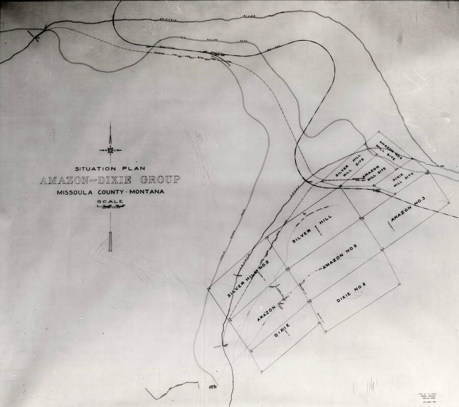
Situation Plan Item Info
- Title:
- Situation Plan
- Photographer:
- Barnard Studio (Wallace, Idaho)
- Date Created (ISO Standard):
- 1905-03-16
- Description:
- A map, called the Situation Plan, showing the Amazon, Dixie, and Silver Hill group in Missoula County, Montana.
- Subjects:
- maps
- Location:
- Missoula, Montana
- Latitude:
- 46.814227
- Longitude:
- -113.891511
- Source:
- Barnard-Stockbridge photograph collection, 1894-1964, PG 8-2, University of Idaho Library Special Collections and Archives
- Finding Aid:
- https://archiveswest.orbiscascade.org/ark:80444/xv407875?
- Source Identifier:
- A077
- Type:
- Image;StillImage
- Format Original:
- 8x10 black and white glass negative
- Format:
- image/jpeg
- Language:
- eng
Source
- Preferred Citation:
- "Situation Plan", Barnard-Stockbridge Photograph Collection, University of Idaho Library Digital Collections, https://www.lib.uidaho.edu/digital/barstock/items/barstock1286.html
Rights
- Rights:
- Material has likely passed into public domain. Digital reproductions are made available by University of Idaho Library for educational purposes, and future use should acknowledge this repository. For more information, please contact University of Idaho Library Special Collections and Archives Department at libspec@uidaho.edu. The University of Idaho Library is not liable for any violations of the law by users.
- Standardized Rights:
- http://rightsstatements.org/vocab/NoC-US/1.0/

