
IMAGE
Shaw's Mountain, northeast of Boise Item Info
- Title:
- Shaw's Mountain, northeast of Boise
- Photographer:
- Stevens, A.W. Capt.
- Date Created (ISO Standard):
- 1923
- Description:
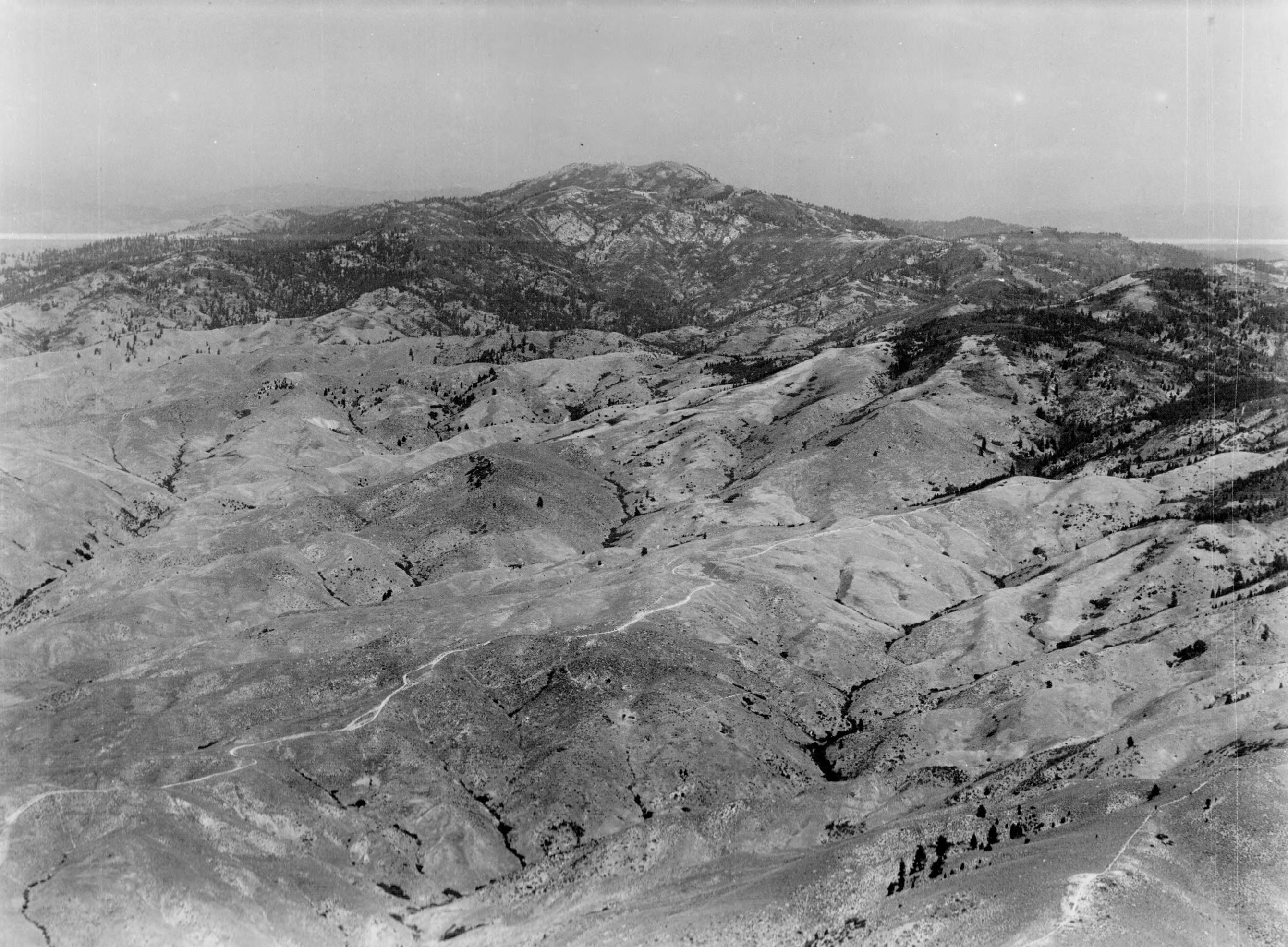
- Photo text: 'Shaw's Mountain , northeast of Boise, Idaho - Showing the winding road over which thousands of miners, in the 60's poured into the Boise Basin, where at Idaho City, Placerville, Centerville, Pioneersville, and Quartzburg, between 3 and 4 million dollars in gold dust were extracted.' This image is part of a series of aerials taken by the Army Air Corps.
- Subjects:
- aerials Idaho landscapes industry natural resources minerals mines mining roads
- Location:
- Ada County, Idaho
- Idaho County:
- Ada County
- Latitude:
- 43.605114
- Longitude:
- -116.06105
- Source:
- Army Air Corps - Airscapes Idaho
- Source Identifier:
- Army67
- Type:
- image;stillimage
- Format:
- image/jpeg
- Language:
- eng
Source
- Preferred Citation:
- "Shaw's Mountain, northeast of Boise", Archival Idaho Photograph Collection, University of Idaho Library Digital Collections, https://www.lib.uidaho.edu/digital/archivalidaho/items/archivalidaho72.html
Rights
- Rights:
- Material determined to be in Public Domain based on date of publication. Material made available by the University of Idaho Library. Please note these materials are not held by University of Idaho Library Special Collections and Archives. For more information, please contact the institution listed in the Source.
- Standardized Rights:
- https://creativecommons.org/publicdomain/mark/1.0/