
IMAGE
Aerial for Moose Creek Ranger Station landing field site Item Info
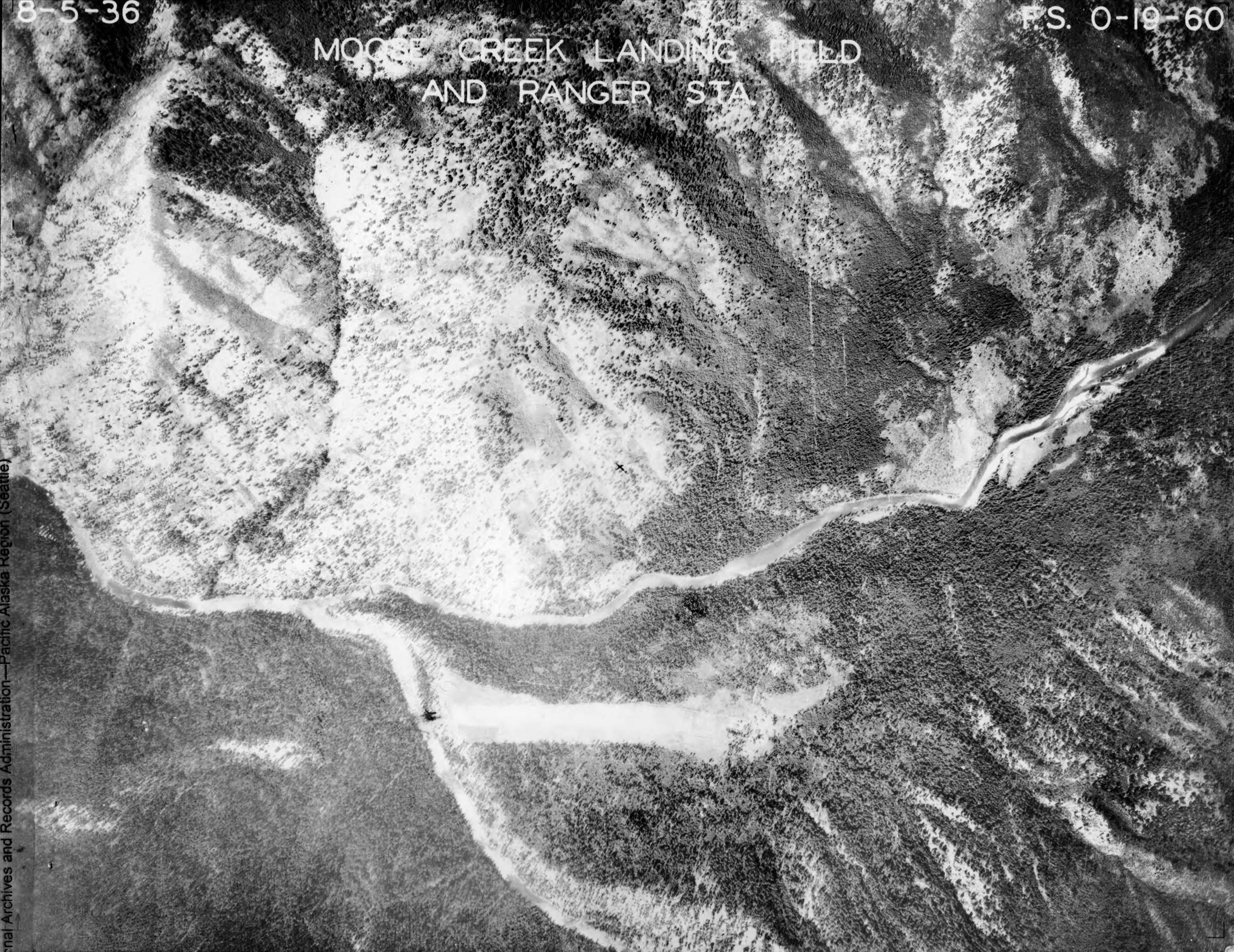
- Title:
- Aerial for Moose Creek Ranger Station landing field site
- Date Created (ISO Standard):
- 1930
- Description:
- This image is part of a series of aerials, images, and planning documents for the Moose Creek Ranger Station landing field and strips.
- Subjects:
- aerials national forests landing fields landing strips air fields ranger stations stations planning
- Location:
- Nez Perce-Clearwater National Forest, Idaho Selway-Bitterroot Wilderness, Idaho
- Latitude:
- 46.12265
- Longitude:
- -114.925536
- Source:
- NARA Seattle; RG 95; R-1 Improvement Airstrips; G2 A 293; Box 5
- Source Identifier:
- MooseCr61
- Type:
- image;stillimage
- Format:
- image/jpeg
Source
- Preferred Citation:
- "Aerial for Moose Creek Ranger Station landing field site", Archival Idaho Photograph Collection, University of Idaho Library Digital Collections, https://www.lib.uidaho.edu/digital/archivalidaho/items/archivalidaho620.html
Rights
- Rights:
- In Copyright - Educational Use Permitted. Please note these materials are not held by University of Idaho Library Special Collections and Archives. For more information, please contact the institution listed in the Source.
- Standardized Rights:
- http://rightsstatements.org/vocab/InC-EDU/1.0/