
IMAGE
Pocatello Municipal Airport or McDougall Field, Pocatello, aerial Item Info
- Title:
- Pocatello Municipal Airport or McDougall Field, Pocatello, aerial
- Date Created (ISO Standard):
- 1938
- Description:
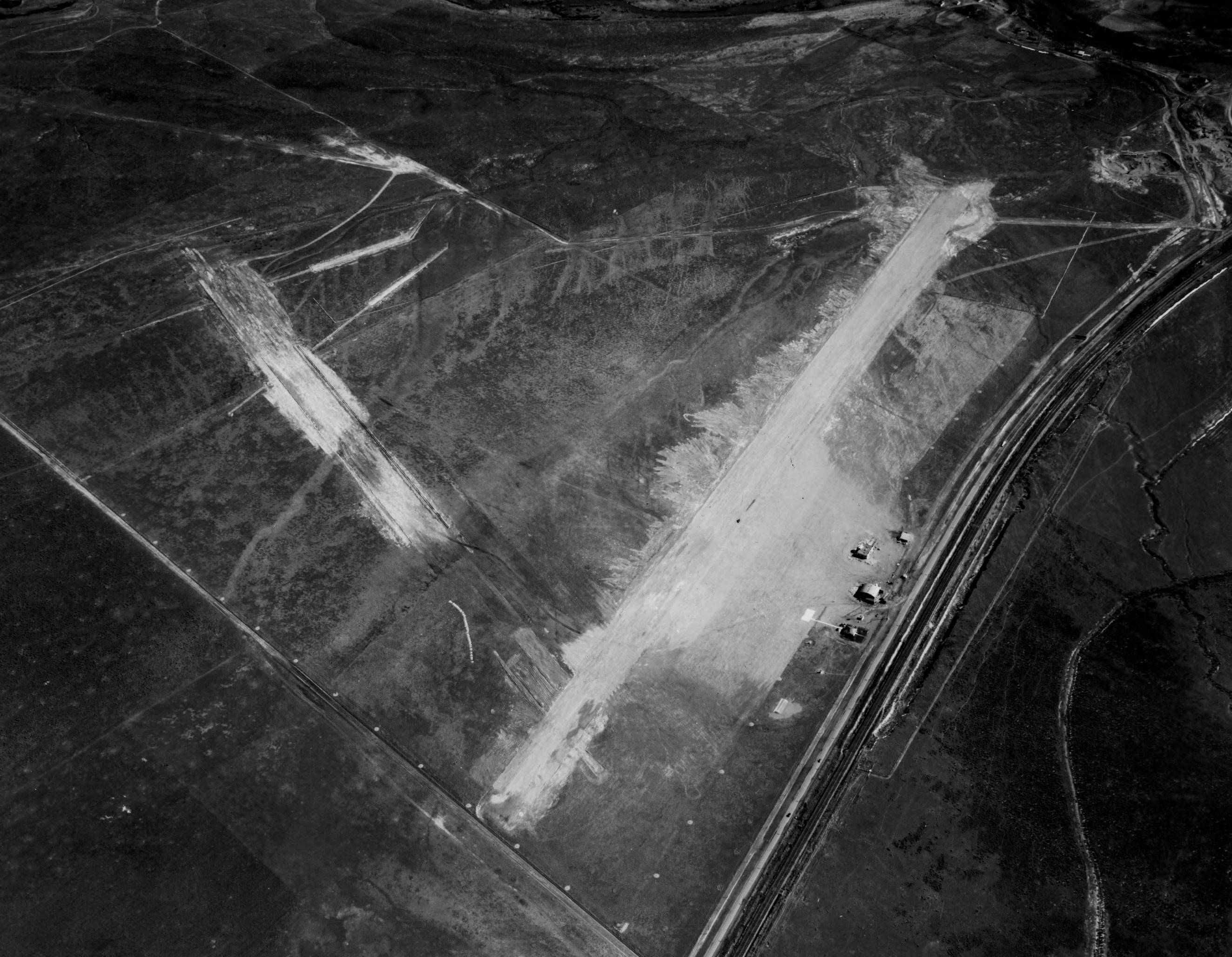
- Aerial image of initial construction of airstrips for McDougall Field also know as Pocatello Municipal Airport. This airfield was used as the municipal airport until 1951 when operation were moved about two miles west to the former Pocatello Army Air Base where the current airfield still resides.
- Subjects:
- airport air strip landing field runway city aerial survey
- Location:
- Pocatello, Idaho
- Idaho County:
- Bannock County
- Latitude:
- 42.908809
- Longitude:
- -112.548433
- Source Identifier:
- NARA10StlPht19
- Type:
- image;stillimage
- Format:
- image/jpeg
- Language:
- eng
Source
- Preferred Citation:
- "Pocatello Municipal Airport or McDougall Field, Pocatello, aerial", Archival Idaho Photograph Collection, University of Idaho Library Digital Collections, https://www.lib.uidaho.edu/digital/archivalidaho/items/archivalidaho1114.html
Rights
- Rights:
- In Copyright - Educational Use Permitted. Please note these materials are not held by University of Idaho Library Special Collections and Archives. For more information, please contact the institution listed in the Source.
- Standardized Rights:
- http://rightsstatements.org/vocab/InC-EDU/1.0/