
IMAGE
Topographic Model [04] (Scale models, testing, and oddities) Item Info
- Title:
- Topographic Model [04] (Scale models, testing, and oddities)
- Creator:
- United States. Army. Corps of Engineers.
- Date Created:
- 1941-10-16
- Description:
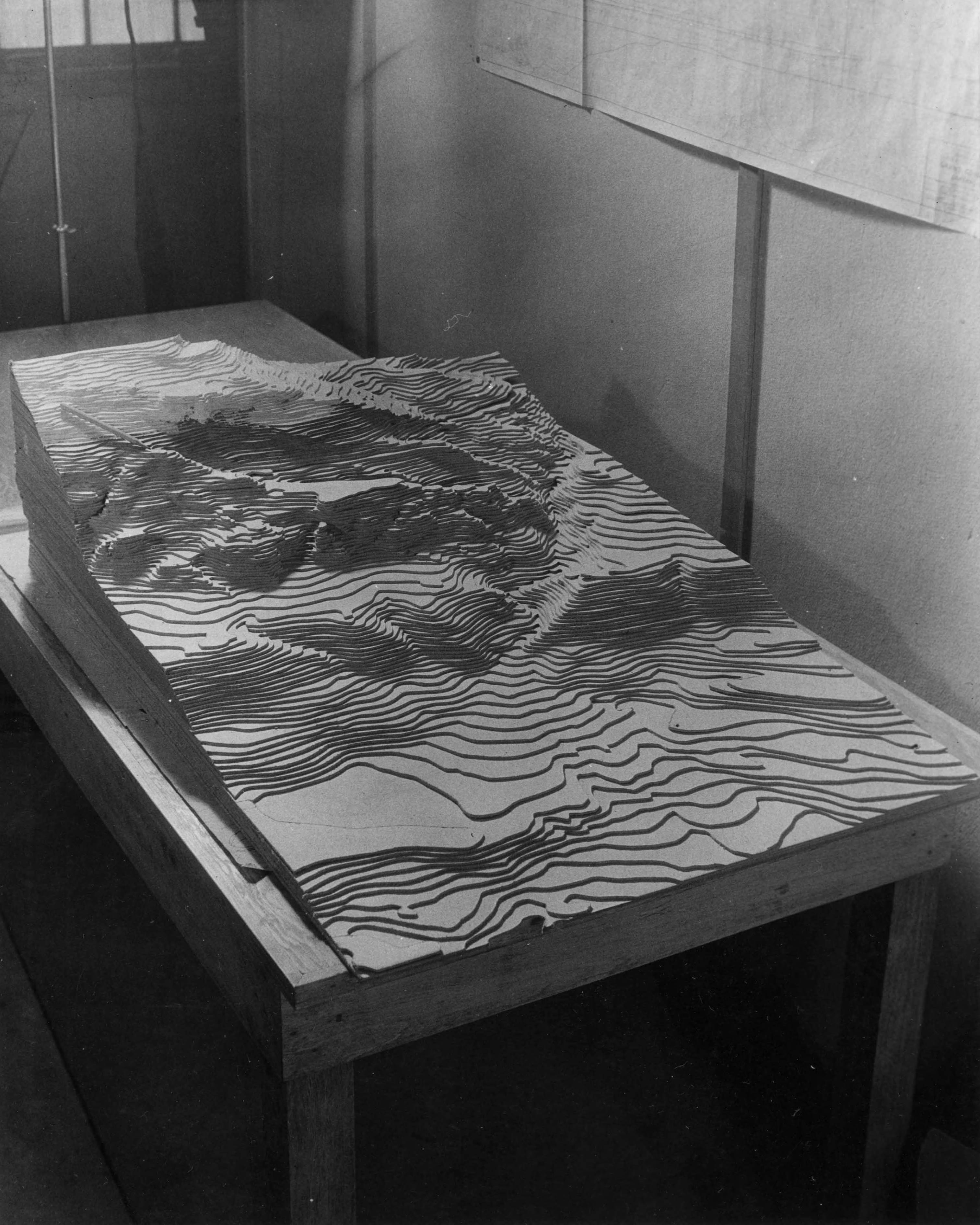
- Photograph is a side angle of a topographical map where the dam will be built.
- Subjects:
- dams (design and construction) scale models, testing, and oddities
- Location:
- Washington (State) Grant County Grand Coulee Dam
- Latitude:
- 47.948086
- Longitude:
- -118.988028
- Publisher:
- University of Idaho Library Digital Initiatives, http://www.lib.uidaho.edu/digital/
- Source:
- Army Corps of Engineers Dam Construction photographs, 1933-1965, PG 94, University of Idaho Library Special Collections and Archives
- Finding Aid:
- https://archiveswest.orbiscascade.org/ark:80444/xv165618
- Source Identifier:
- 94-3-9300
- Type:
- Image;StillImage
- Format:
- image/jpeg
Source
- Preferred Citation:
- "Topographic Model [04] (Scale models, testing, and oddities)", Columbia River Basin Project: Dam Construction in the Pacific Northwest, University of Idaho Library Digital Collections, https://www.lib.uidaho.edu/digital/crbp/items/crbp982.html
Rights
- Rights:
- In copyright, educational use permitted. Educational use includes non-commercial reproduction of text and images in materials for teaching and research purposes. For other contexts beyond fair use, including digital reproduction, please contact the University of Idaho Library Special Collections and Archives Department at [libspec@uidaho.edu](mailto:libspec@uidaho.edu). The University of Idaho Library is not liable for any violations of the law by users.
- Standardized Rights:
- http://rightsstatements.org/vocab/InC-EDU/1.0/